
The Short Version
- The tsunami threat from Friday's magnitude-7.7 earthquake in Panama has formally passed — the National Weather Service has lifted every related warning and alert.
- Damage is concentrated near the epicenter in Herrera, Veraguas, Los Santos and Coclé provinces: collapsed buildings, a partially collapsed cathedral in Penonomé, and a historic church down in Los Santos.
- At least two people are injured, per AFP citing local officials; no casualties have been reported. Schools and government offices are suspended until further notice.
- A 6.6-magnitude quake struck separately as aftershocks of 5.8 and 5.5 kept rattling the region through Friday.
PANAMA CITY — The ocean has stood down. The National Weather Service has formally lifted the tsunami warnings issued for Panama, Colombia, Ecuador, Nicaragua and Guatemala after Friday morning's magnitude-7.7 earthquake, and the related alerts for El Salvador and for Chile, including Easter Island, have been lifted as well. The water, the fear everyone woke up with on Friday, is done — and now comes the damage count.
The earthquake is not. What remains is the slow, building-by-building work of figuring out what a 7.7 does to a country, and the answer is already coming into focus around the epicenter: collapsed buildings, a partially collapsed cathedral, and a historic church in ruins.
The numbers, as the U.S. Geological Survey has settled them: magnitude 7.7, centered roughly 7 miles southwest of Pitaloza Arriba in Herrera province, at a depth of about 8 miles. It struck Friday morning — around 1:56 p.m. ET — and the magnitude bounced around in the first hours of reporting, first called an 8.0, then revised to 7.6, before the USGS landed on 7.7. That puts it among the most powerful earthquakes of the year worldwide: the third-strongest of 2026, behind the pair of 7.8s that hit the Philippines in June and Indonesia in August.
The damage, so far
Damage reports are concentrated in the central provinces nearest the epicenter — Herrera, Veraguas, Los Santos and Coclé. Buildings collapsed near the epicenter. In Penonomé, the cathedral partially collapsed. In Los Santos province, a historic church came down entirely. These are the kinds of losses that don't just damage a town — they gut its center.
Even as the warnings lifted, the ocean gave the coast one last scare: Néstor Luque, director of the Geosciences Institute at the University of Panama, said waves of 3 to 10 feet were expected around Isla Cañas and the southern coast of Los Santos province, and seawater had already reached homes near the coast on Isla Cañas. Major waves were not expected beyond that stretch — but for the fishing villages along that shoreline, the distinction was academic.
This is Panama's hardest seismic test in a generation. The last major earthquake to cause widespread damage here struck in 1991 — a magnitude-7.4 quake centered near the Costa Rican border that killed 23 people, injured 559, and left thousands homeless in Bocas del Toro. Seismologists note the region sits at a volatile junction where the Cocos and Nazca plates are forced beneath the Caribbean plate, a setup known for producing exactly this kind of large, shallow, tsunami-capable earthquake.
The human toll, remarkably, appears limited so far: at least two people are injured, according to AFP citing local officials, and no casualties have been reported. That is the number everyone will be watching into the weekend, because earthquake casualty counts almost always grow as rescuers reach the areas closest to the epicenter — and in Herrera province, that work is happening now.
Panama's government has suspended schools and government offices until further notice. President José Raúl Mulino urged calm in a public address and said, "What happened should not be used to cause alarm or disorder," and thanked the presidents of Chile, Uruguay and Guatemala for their offers of support. It's the kind of line that tells you exactly what officials are worried about: not just the buildings, but the panic.
A 6.6 in the middle of it all
As if the mainshock weren't enough, the region took a second major hit: a magnitude-6.6 earthquake struck separately, on top of aftershocks measured at 5.8 and 5.5. A 6.6 on its own is a serious earthquake — in a region whose buildings have just absorbed a 7.7, it's the kind of aftershock that finishes what the first one started.
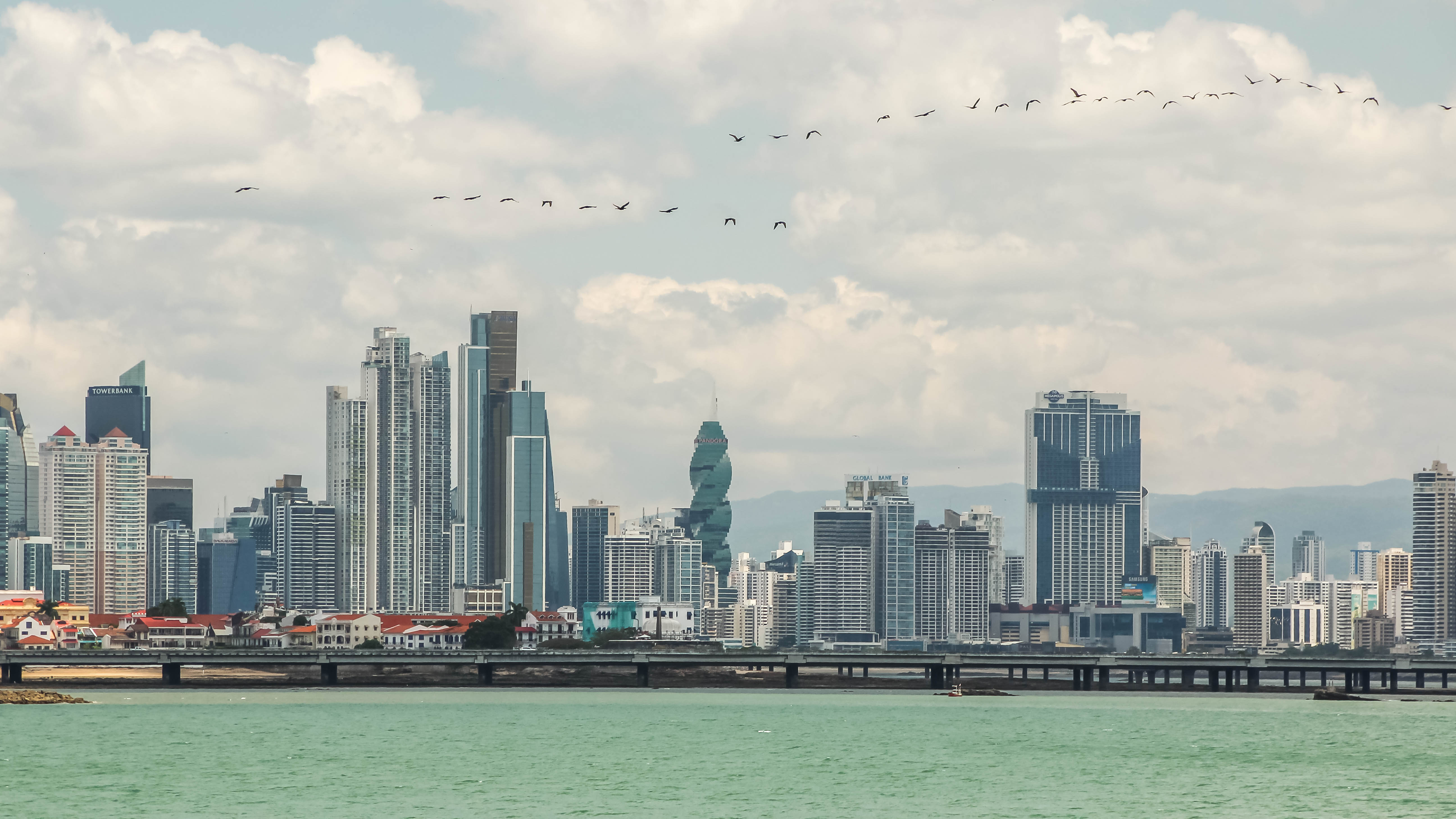
The shaking was felt well beyond the epicenter. In Panama City, people poured out of buildings and into the streets. The quake was also felt in Costa Rica and Colombia — a footprint that stretches across three countries and explains why the tsunami warnings initially covered so much of the Pacific coast.
That the tsunami threat has passed doesn't mean the seismic story is over. Aftershocks will continue for days, and each one complicates the damage assessment: a building weakened by the 7.7 can fail under the 5.8. Crews on the ground are working against that clock, trying to get a complete picture of the damage before the next tremor rewrites it.
The U.S. is watching
Secretary of State Marco Rubio said the United States is "closely monitoring" the situation and "rapidly mobilizing resources and personnel" at Panama's request, adding: "The United States stands with the people of Panama." Americans in Panama who need help can reach the State Department's consular hotline at +1-202-501-4444 from abroad, or +1-888-407-4747 from the U.S. and Canada.
For now, the arc of this story has bent the right way: the tsunami that everyone feared on Friday morning did not come, and the casualty count remains at two injured with none dead. But the damage assessment is still in its early hours. The cathedrals and churches can be counted from photographs; the houses and shops of Herrera province have to be checked one by one. The weekend will tell the fuller story.
For the latest on the initial quake and the warnings as they were issued, see our earlier coverage of the 7.7 quake and the tsunami threat — and Friday brought another tremor much closer to home: a magnitude-3.2 earthquake near Long Beach, California.
Reporting this story is based on
- weather.com — Two powerful earthquakes and multiple aftershocks rock Panama
- People — 7.7 magnitude earthquake rocks Panama, causing a series of aftershocks
- International Business Times (Singapore) — Panama earthquake tsunami alerts: which countries were warned after 7.7 quake