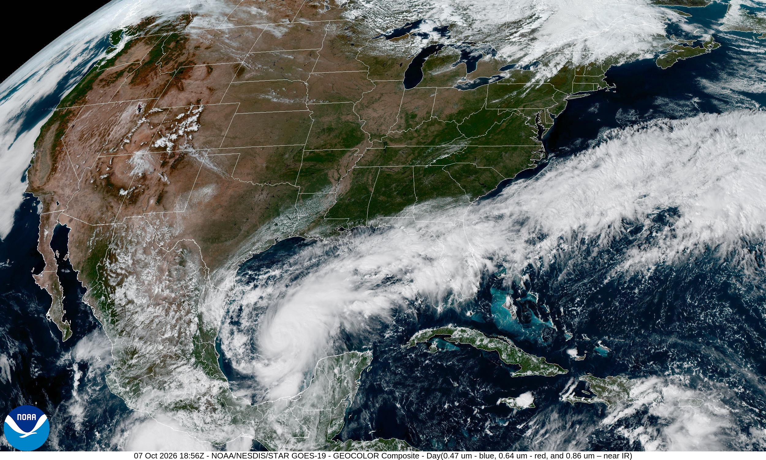
WEDNESDAY, OCTOBER 7, 2026 — This morning’s forecast was already serious. By noon it was worse. Tropical Storm Isaias, which spun up in the southwestern Gulf on Wednesday morning and drew an initial round of watches, spent the late morning doing exactly what forecasters feared: getting better organized, strengthening, and dragging its watch zone westward — straight over New Orleans.
At 10:12 a.m. Wednesday, the National Weather Service issued a hurricane watch for New Orleans, meaning hurricane-force winds are possible within 48 hours. A storm surge watch went up at the same time for the southeastern Louisiana coast, with life-threatening inundation of three to five feet above ground possible from Friday morning through Saturday morning. A tropical storm watch followed at 10:21 a.m. The affected communities read like a roll call of the Mississippi coast: Gulfport, Biloxi, Pascagoula, Ocean Springs, Bay St. Louis — places that know exactly what a Gulf October can do.
By the 1 p.m. ET advisory, Isaias’ maximum sustained winds had ticked up to 50 mph. Seventy-four is the hurricane line, and forecasters don’t think it will take long. “Isaias has gotten better organized during the past several hours, with a large area of deep convection near and northeast of the center,” the NHC’s 10 a.m. CT update said. The next intermediate advisory lands at 2 p.m. ET, and all eyes are on whether the winds jump again.
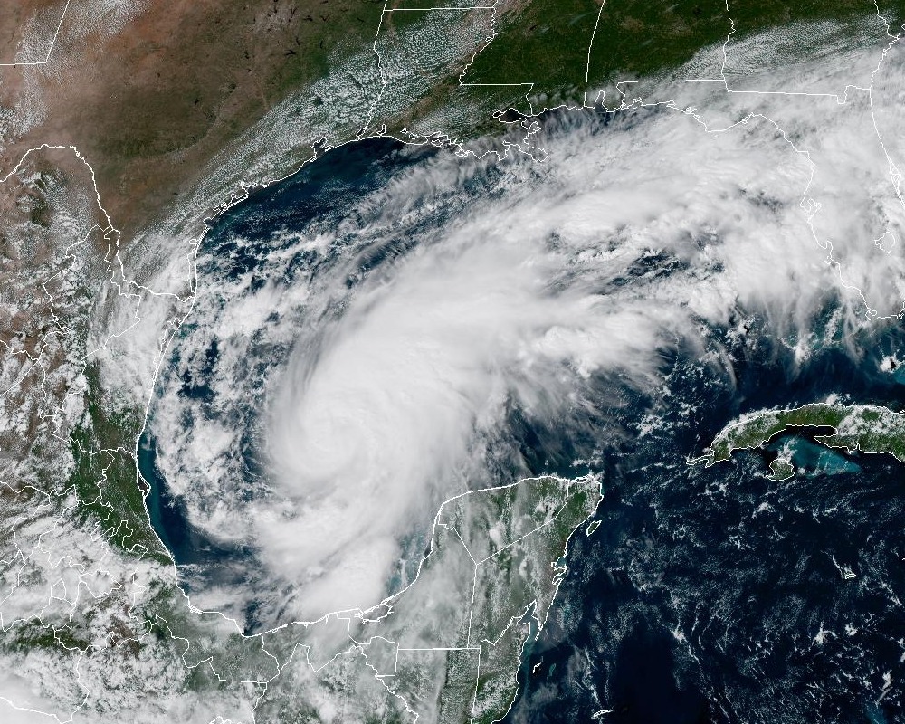
StrengtheningA high-end Category 2 by Friday morning
The official forecast has barely budged, and that’s the problem — it was already alarming. Isaias is expected to become a hurricane by Thursday, then keep intensifying to a high-end Category 2 with 110-mph winds by Friday morning. Category 3 starts at 111 mph, so we’re talking about a storm that could brush major-hurricane strength before it comes ashore.
Michael Lowry, the hurricane specialist at WPLG in South Florida, expects landfall “most likely somewhere between coastal Mississippi and the western Florida Panhandle,” and he’s looking for “significant strengthening,” especially later Wednesday and Thursday. NHC hurricane specialist Philippe Papin wrote Wednesday morning that it is “looking more likely that Isaias will be a significant hurricane when it reaches the coast.”
There’s a wrinkle, and it’s an honest one. University of Miami researcher Brian McNoldy notes a spread between the AI models and the traditional physics-based models — the Euro ensemble is “quite a bit further west and more centered on the New Orleans area,” he said, “and that’s a model we normally would respect.” AccuWeather’s Alex DaSilva, meanwhile, expects the track to keep shifting east, with landfall around 11 p.m. Friday near the Florida-Alabama border as a Category 2. “So Pensacola will be bearing the brunt of the storm,” DaSilva said, “and that’s a big concern as it trends east.”
Landfall timing, per the NHC: late Friday or during the early morning hours Saturday — around 1 a.m. Saturday, October 10. Tropical storm conditions could reach the coast by midday Friday, with hurricane conditions arriving late Friday.
Water, WaterSurge, rain, and a king tide — the part that kills
Ask any forecaster what scares them about this storm and they don’t start with wind. Rick Knabb, the former NHC director now at The Weather Channel, said he’s anxious about the rainfall forecasts and the surge potential — 5 to 7 feet forecast from Pensacola to about Port St. Joe. “I am most concerned about people dying in water and in their cars on the road,” Knabb said. “There could be a combination of rain induced flooding and saltwater flooding. If there is an evacuation, we need to get everybody out.”
The numbers: a storm surge watch is up from the mouth of the Mississippi River eastward to Yankeetown, Florida, with the heaviest surge — 5 to 7 feet — forecast from Ocean Springs, Mississippi, to Indian Pass, Florida, plus Mobile Bay. Three to five feet is expected elsewhere along the northern Gulf Coast.
Rainfall, per the NHC: 3 to 6 inches with localized totals up to 10 inches across the central Gulf Coast from far southeastern Louisiana to the Florida Panhandle, Friday through the weekend. The western Panhandle alone could see up to six inches through Monday. Flash flooding, urban flooding and isolated river flooding are all on the table. And here’s the kicker: it all arrives on the new-moon king tide, when tides are already running high — the surge piles onto the highest water of the month.
Shear might be the storm’s only enemy — and maybe not even that. A dose of what one forecaster called “quite dramatic” wind shear is forecast to scissor through Isaias as it nears the coast, but as Papin wrote, it still looks likely to be “a significant hurricane when it reaches the coast.” University of Miami scientist Andy Hazelton doesn’t see Milton 2.0 — this setup doesn’t support extreme rapid intensification, he said in a late-Tuesday post — but “some notable pressure falls” are still coming.
If Isaias does come ashore as a hurricane, it will be the first U.S. hurricane landfall since Milton in 2024 — which, in a twist of Gulf irony, hatched in the same warm Bay of Campeche waters feeding this storm. Milton’s Oct. 9, 2024 landfall at Siesta Key spawned 45 tornadoes, pushed up to 9 feet of surge into the Venice-to-Boca Grande coast, and drowned an area near St. Petersburg in 20 inches of rain. Nobody needs a repeat.
On the GroundSandbags in Destin, a state of emergency in 25 counties
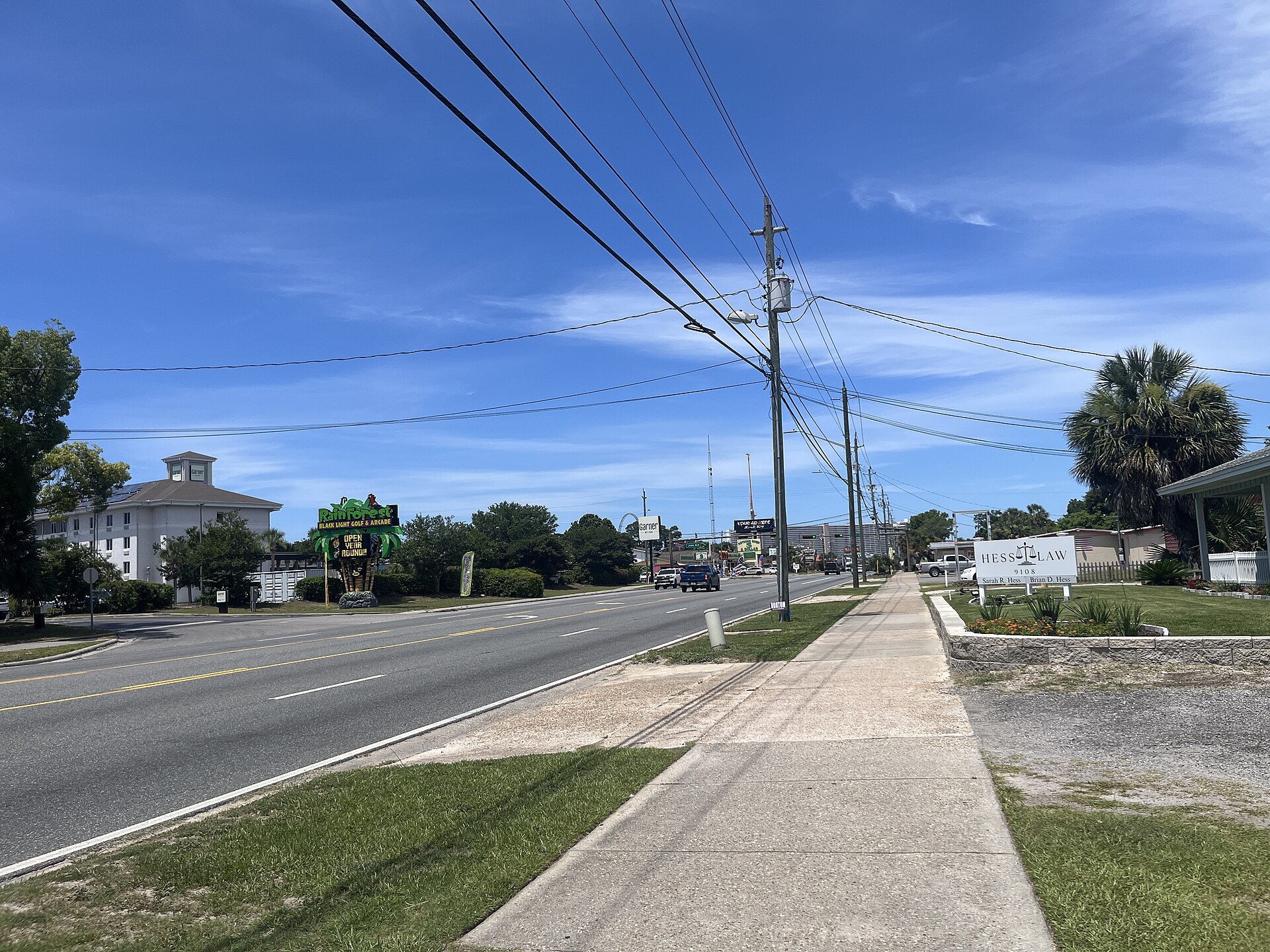
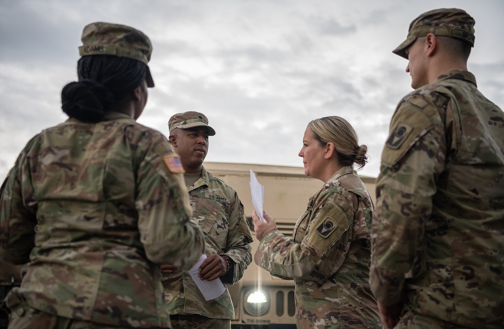
Gov. DeSantis’ Oct. 6 state of emergency now feels prescient rather than precautionary. The order covers 25 North Florida counties from Escambia to Baker — including Okaloosa and Walton, both already seeing residents line up at self-service sandbag stations in Destin. The declaration lets the state mobilize the National Guard, open shelters, suspend regulations, coordinate with other states and request federal aid. It also bans price gouging, allows emergency prescription refills and stays in force for up to 60 days. Sandbags, generators, fuel, flood barriers, boxed water, tarps and flood buckets are being staged in Tallahassee and the Santa Rosa area.
“I figure ... better be safe than sorry,” said Mark Daigneau, filling sandbags in Destin on Tuesday afternoon. “I’d rather look at the sandbag and not use them, then need them and it’s too late.” That’s the whole ethos of Wednesday: prepare like the forecast is right, because the forecast has been getting it right.
The Storm Prediction Center has 1.9 million people from eastern Louisiana through Panama City in a slight risk for severe thunderstorms on Saturday — tornadoes embedded in the rain bands are a real threat with landfalling Gulf systems. A pronunciation note from the National Weather Service in Melbourne, since you’ll be saying it a lot: it’s ees-ah-EE-ahs, emphasis on the third syllable. The only other Isaias, in 2020, brushed Florida’s east coast before landfalling in North Carolina.
Bottom line: if you live from coastal Mississippi to the Florida Panhandle, Wednesday is preparation day. Fill the sandbags, fuel the generator, check the supply kit — because by Friday afternoon, Isaias is coming, and it’s bringing everything with it. We’ll keep updating through the day; our morning story has the initial watch declarations and forecast history, and the NHC’s next full advisory drops at 2 p.m. ET.