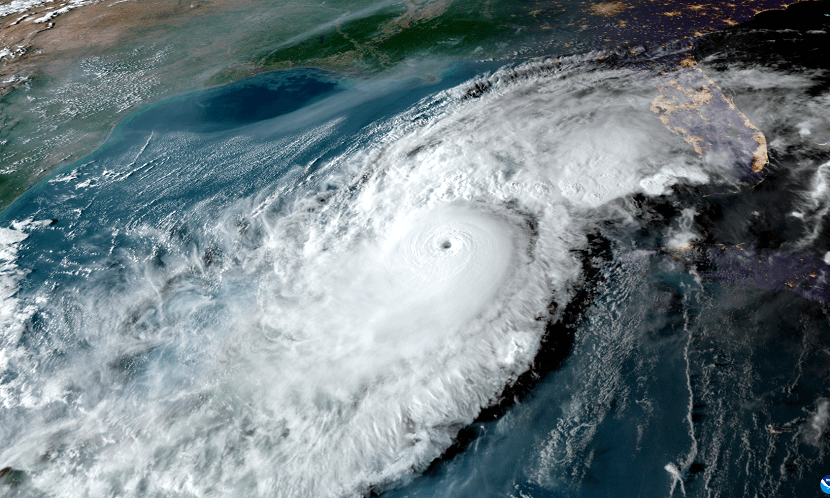
WEDNESDAY, OCTOBER 7, 2026 — The 2026 Atlantic hurricane season’s long wait for its first hurricane is about to end. Tropical Storm Isaias, which spun up in the southwestern Gulf early Wednesday morning, is forecast to strengthen rapidly into a dangerous hurricane and slam into the northern Gulf Coast late Friday or early Saturday — and the warnings are already going up across three states.
The National Hurricane Center issued a hurricane watch Wednesday for the Gulf Coast from Bay St. Louis, Mississippi, to Indian Pass, Florida — a stretch that includes Gulfport, Mobile and the Pensacola area. A hurricane watch means hurricane conditions are possible within about 48 hours, the window in which outside preparations become difficult or dangerous.
At the 11 a.m. ET advisory, Isaias was centered about 540 miles south-southwest of the mouth of the Mississippi River, packing maximum sustained winds of 45 mph and moving east-northeast at about 8 mph. On the forecast track, the storm will pass north of Mexico’s Yucatan Peninsula on Thursday, then turn sharply north toward the U.S. Gulf Coast.
Rapid StrengtheningA dangerous hurricane by Friday
Forecasters are blunt about what comes next. Isaias is expected to become a hurricane by Thursday, October 8, then keep strengthening — peaking as a high-end Category 2 with 110 mph winds by Thursday night or early Friday. A Category 3 begins at 111 mph, so the storm could flirt with major-hurricane strength before landfall.
“It is looking more likely that Isaias will be a significant hurricane when it reaches the coast,” NHC hurricane specialist Philippe Papin wrote in Wednesday morning’s forecast discussion. Hurricane specialist Michael Lowry of Miami2019s WPLG-TV expects landfall “most likely somewhere between coastal Mississippi and the western Florida Panhandle,” with “significant strengthening” especially later Wednesday and Thursday.
The National Weather Service in Tallahassee said Isaias “is expected to near major hurricane status before a Friday Gulf Coast approach,” with “lopsided impacts along and east of the center” — heavy rain, damaging wind, tornadoes and storm surge potential. Most impacts for the northeastern Gulf Coast arrive Friday into the weekend.
Watches & Warnings450 miles of coastline on alert
Storm watches now stretch along more than 450 miles of coast, USA Today reported. In addition to the hurricane watch, a storm surge watch is in effect from the mouth of the Mississippi River eastward to Yankeetown, Florida — warning of the possibility of life-threatening inundation from rising water moving inland. Tropical storm watches cover the coast from the Jefferson/Plaquemines Parish line in Louisiana west to Bay St. Louis, and from east of Indian Pass to the Aucilla River in Florida.
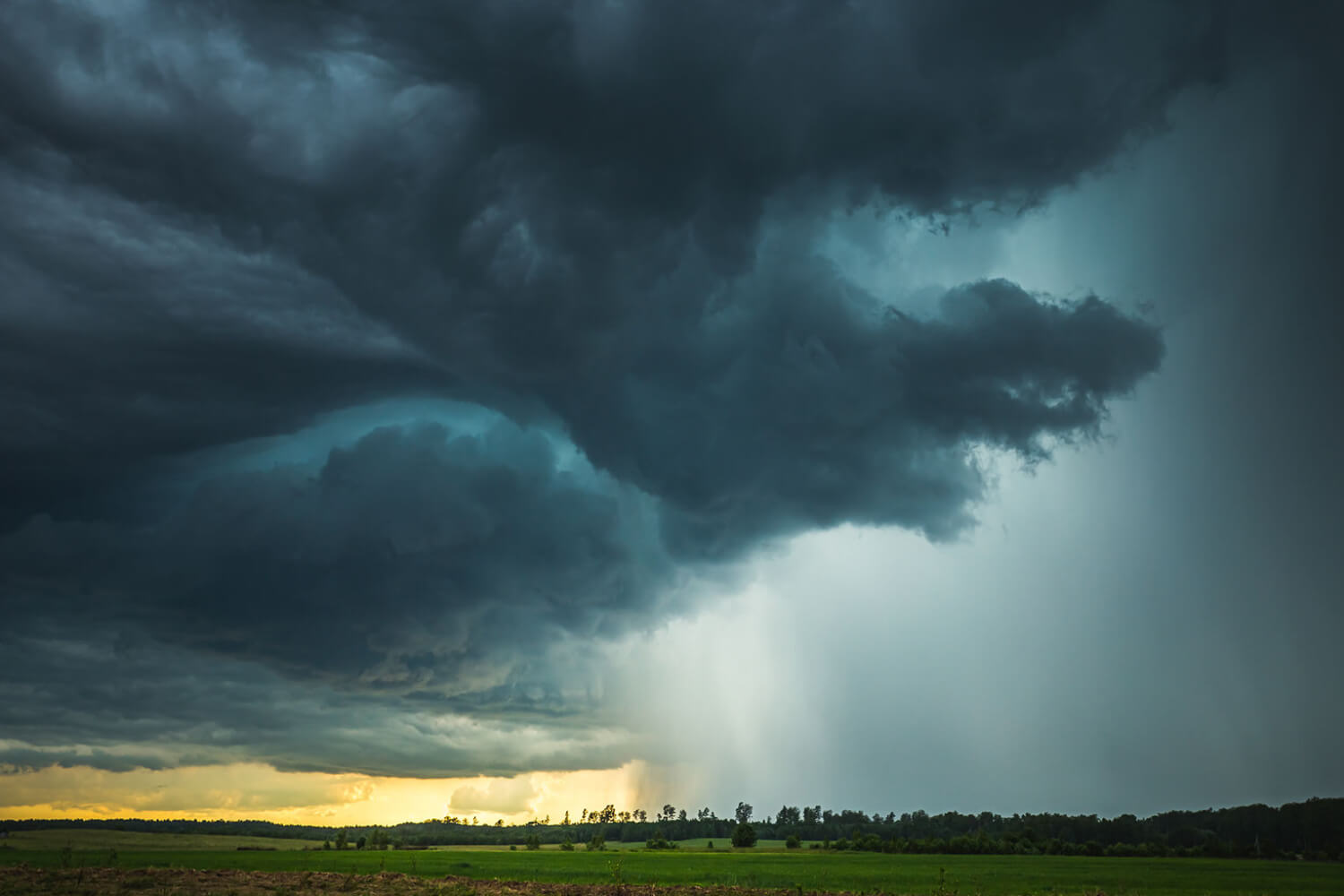
The biggest threats, in order: storm surge, damaging winds, and flooding rain. Three to six inches of rain could fall across the northern Gulf Coast from southeastern Louisiana to the Florida Panhandle from Friday through the weekend, and saturated soils from recent weeks of rain have emergency managers worried about flash flooding. AccuWeather warns of wind gusts of 100 to 120 mph near and just east of the center at landfall, plus a risk of severe thunderstorms and tornadoes that could extend hundreds of miles east of the center through the weekend.
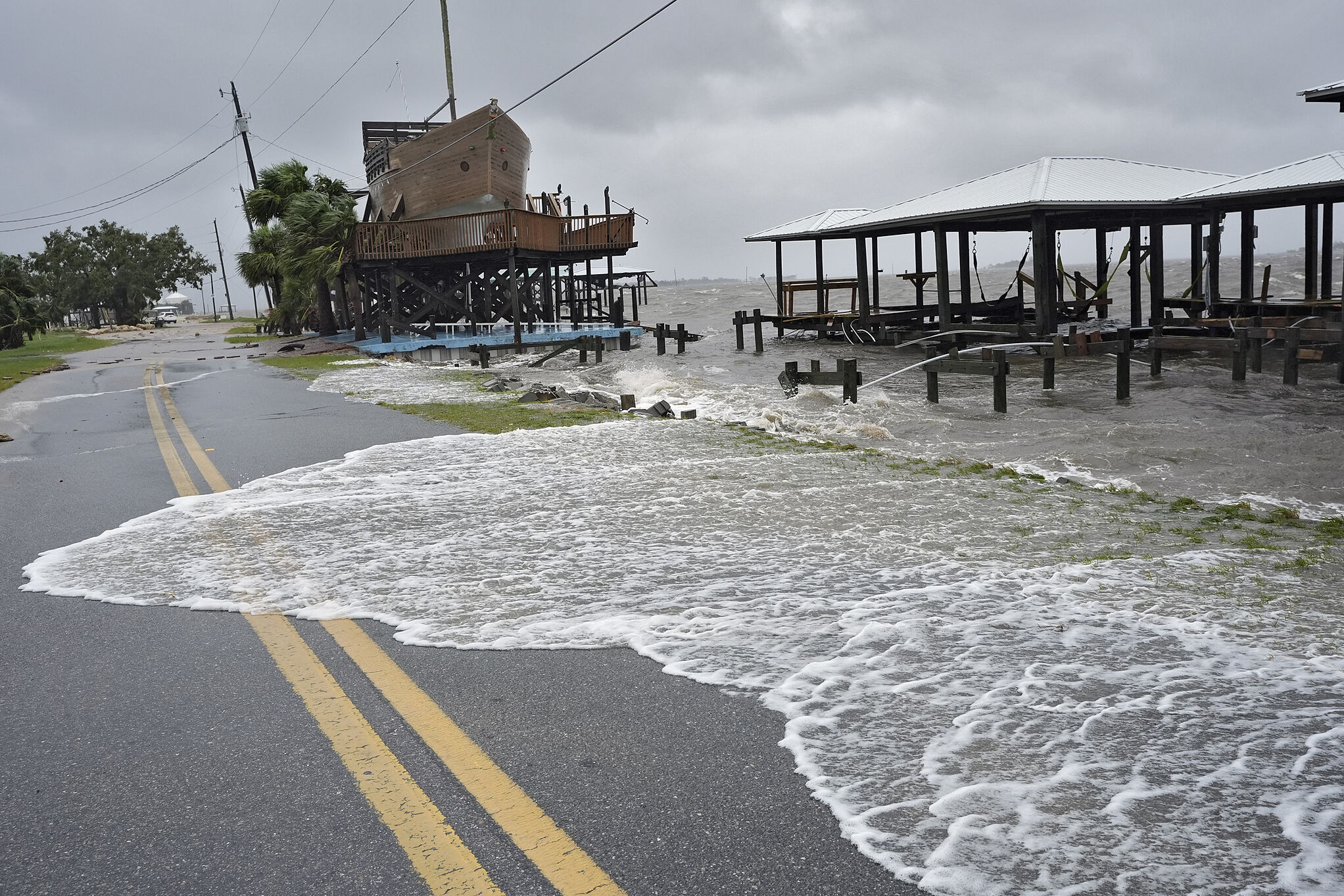
Timing matters, too. The storm is arriving during the next new moon king tide, which will amplify coastal flooding. And while some wind shear is forecast to weaken Isaias slightly just before landfall, forecasters expect it to remain a hurricane through landfall — which would make it the first U.S. hurricane landfall since Milton in 2024.
Florida RespondsState of emergency in 25 counties
Gov. Ron DeSantis got ahead of the storm Tuesday, signing an executive order declaring a state of emergency in 25 North Florida counties — from westernmost Escambia County across the Panhandle and into the Big Bend: Baker, Bay, Calhoun, Columbia, Dixie, Escambia, Franklin, Gadsden, Gilchrist, Gulf, Hamilton, Holmes, Jackson, Jefferson, Lafayette, Leon, Liberty, Madison, Okaloosa, Santa Rosa, Suwannee, Taylor, Walton, Wakulla and Washington.
“Today, I signed an Executive Order issuing a state of emergency ahead of potential impacts,” DeSantis said in a statement. “This order will allow the Florida Division of Emergency Management to stage critical preparedness resources and ensure Florida is ready to respond.”
State emergency officials told the Tallahassee Democrat they are mobilizing generators, fuel, flood barriers, bottled water, shelf-stable meals, tarps and sandbags to staging areas in Tallahassee and Santa Rosa County for rapid deployment.
The declaration expands emergency powers — mobilizing resources, activating the National Guard, opening shelters, suspending regulations and prohibiting price gouging. The order stays in effect for up to 60 days.
Offshore, the energy industry is taking precautions. Shell is evacuating nonessential personnel from six Gulf platforms, while BP is removing nonessential workers and securing its offshore facilities, the companies said Tuesday.
What To Do NowThe preparation window is closing
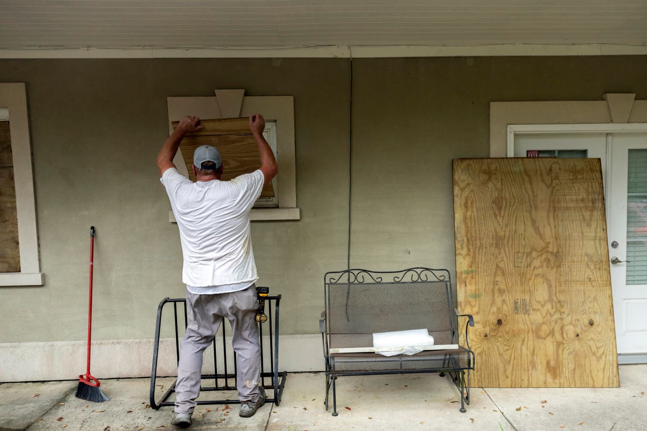
Wednesday and Thursday are the preparation window. The National Weather Service in Mobile said “confidence is increasing” that the Florida Panhandle will see impacts, and residents from southern Louisiana to Florida’s Big Bend should treat the next 48 hours as the time to act: review disaster plans, restock hurricane supply kits, secure outdoor items, know evacuation routes and have multiple ways to receive warnings — including overnight, when conditions could begin deteriorating Friday.
One more note for the trivia-minded: Isaias (pronounced ees-ah-EE-ahs) last appeared in 2020, when that hurricane brushed Florida’s east coast before making landfall in North Carolina. This one is taking the Gulf route instead — and the Gulf has been waiting all season. We’ll keep this story updated as the forecast evolves.