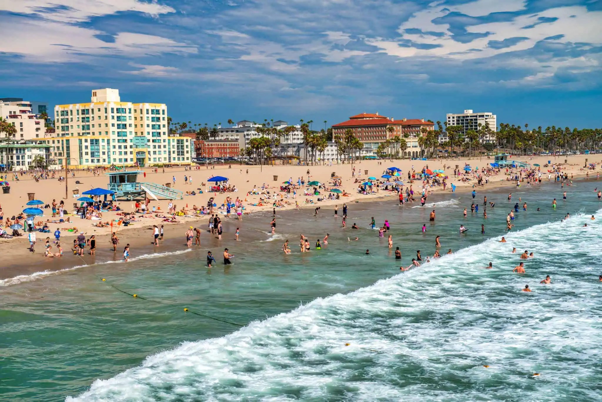
TUESDAY, OCTOBER 6, 2026 — Los Angeles is living a weather contradiction this week. The thermometers are still parked on a record-shattering October heat wave — downtown Los Angeles just logged its longest-ever October streak of 100-degree days — while the city’s emergency machinery has swung toward the opposite extreme. On Monday, Mayor Karen Bass stood with the National Weather Service’s chief meteorologist for Los Angeles at LADWP’s new Department Emergency Operations Center and ordered citywide preparations for a winter El Niño that federal forecasters now give a three-in-four chance of becoming the strongest ever recorded.
The forecastWhat “potentially historic” actually means
The superlative is not City Hall hype — it comes straight from NOAA’s Climate Prediction Center. In its September 10, 2026 ENSO Diagnostic Discussion, the center says El Niño is strengthening, with a greater than 90% chance of a very strong event during the Northern Hemisphere fall and winter of 2026–27. More strikingly, there is now a 75% chance that the October–December 2026 three-month Relative Oceanic Niño Index reaches +2.5°C or higher — a level the center calls historic because it would exceed the strength of every El Niño in its records dating back to 1950. The probability has climbed from 69% in August as the coupled ocean-atmosphere system kept strengthening: sea surface temperature anomalies topped +3.0°C in the eastern equatorial Pacific, and subsurface temperature anomalies reached a remarkable +10.0°C at depth.
But federal forecasters are careful to separate the size of the ocean event from what any one city will experience. The same discussion notes that with an event of this magnitude, “the chances of experiencing impacts consistent with El Niño are larger, but they are not guaranteed.” That was the theme of Monday’s briefing. “At this time, we are unable to predict with certainty if destructive weather will occur. However, we’re recognizing the risk and we’re encouraging responsible preparedness for the possibilities,” said Dr. Ariel Cohen, chief meteorologist at the National Weather Service office in Los Angeles/Oxnard. “Preparation involves much more than reacting to a disaster. Weather preparedness should be a habit, just like putting on a seatbelt.”
The ordersWhat the city is doing now
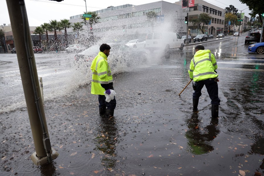
Bass’s directive puts every major city department on storm footing. According to the mayor’s office, crews have already cleared more than 31,000 catch basins and drainage sites and 50 debris basins — including in the Pacific Palisades — to maximize drainage before the first winter storms. City teams are assessing hillsides, burn areas and other high-risk locations, reinforcing erosion controls with more than 13,000 feet of K-rail and sandbags and preparing additional protective measures at 25 locations across the city. Nearly 250 high-risk grading and construction sites are being monitored, with the Palisades burn scar and other vulnerable hillside areas the priority — a direct response to the city’s recent history with fire-followed-by-flood. Our Oct. 3 rundown of the record heat that set this whole week up.
Emergency equipment — generators, pumps, pumper trucks, sandbags — is being staged for rapid deployment, with the Los Angeles Fire Department preparing personnel for storm-related emergencies including flooding and swift-water rescues. LADWP is preparing crews and resources for power outages, centralizing its emergency response at the new Department Emergency Operations Center (DEOC) where Monday’s briefing was held. “While we don’t know how much wet weather Los Angeles will get this winter, we know what heavy rain and strong winds can do here: streets can flood quickly, trees and power lines can come down, and in the Palisades and other recent burn areas, dangerous mud and debris flows could impact homes. That’s why we are taking action now to keep Angelenos safe,” Bass said.
“As the largest municipal water and power utility in the nation, LADWP is central to the city’s emergency response,” said David W. Hanson, LADWP’s interim general manager. “Your LADWP is ready for El Niño, and we have strengthened our systems, our teams, and our infrastructure to further protect the communities we serve.” The city is also coordinating outreach, housing and potential evacuation efforts for people experiencing homelessness in flood-prone areas, and will keep working with county, state and National Weather Service partners to monitor conditions.

Right nowThe heat warning
Before winter comes the week’s more immediate hazard. The National Weather Service has issued an Extreme Heat Warning for Los Angeles through Thursday, October 8, and Bass is urging Angelenos to stay hydrated, check on neighbors and pets, and take advantage of hundreds of free city facilities — rec centers and library branches open as relief sites. Locations and hours are at laparks.org/reccenter and lapl.org/branches, or by calling 3-1-1. The city has also opened dedicated cooling centers operating under extended hours citywide.
The warning caps an October for the record books. Southern California just set nine daily maximum records — downtown LA, Oxnard, Camarillo, LAX, Burbank, Long Beach, Woodland Hills and Santa Ana among them — and downtown’s four-day streak of 100-degree highs was the longest ever recorded there in October, territory CBS LA chief meteorologist Paul Deanno called “rare.” For the city, the cognitive whiplash is the point: the same week you need a cooling center, you also need to clean your gutters. The full record rundown from our Oct. 3 coverage.
Be readyWhat Angelenos need to know
The city’s guidance is blunt and practical. Before the storm: sign up for alerts at NotifyLA.org, build an emergency plan with medications, flashlights, documents and pet supplies at ready.lacity.gov, and check whether your home sits in a flood zone — flood insurance typically takes 30 days to take effect, so act now. Pick up free sand and sandbags at fire stations if you live near a burn scar or flood-prone area, clean gutters and yard drains, secure outdoor furniture and charge devices. During severe weather: follow evacuation or shelter-in-place orders — especially near recent burn areas — avoid driving, never drive or walk through a flooded street, and stay away from downed power lines, assuming every one is live. Report outages to LADWP at 1-800-342-5397. After: report flooding, mudslides, fallen trees, potholes and clogged drains to 3-1-1 or the MyLA311 app; sewer and storm drain concerns go to LA Sanitation at 1-800-773-2489. And for pet and large-animal assistance, LA Animal Services is at 1-888-452-7381.
Bass’s office says the coordination with county, state and weather-service partners continues as the season develops. Whether this El Niño becomes historic in the ocean or in the streets is the winter’s open question — but for the first time in a city that spent October sweating, the answer is now being prepared for in advance. Tonight, L.A. watches the Dodgers try to take NLDS Game 3 in Atlanta.
Sources
- Mayor Karen Bass press release — “Mayor Bass Directs Citywide Preparedness Measures Ahead of Potentially Historic El Niño for Southern California,” October 5, 2026
- NOAA Climate Prediction Center — ENSO Diagnostic Discussion, September 10, 2026
- The Watchers — “NOAA raises chance of historic-strength El Niño to 75% for October–December 2026,” September 11, 2026
- National Weather Service — Extreme Heat Warning for Los Angeles, issued through October 8, 2026 (via mayor.lacity.gov)