
October 17, 2026
MALIBU
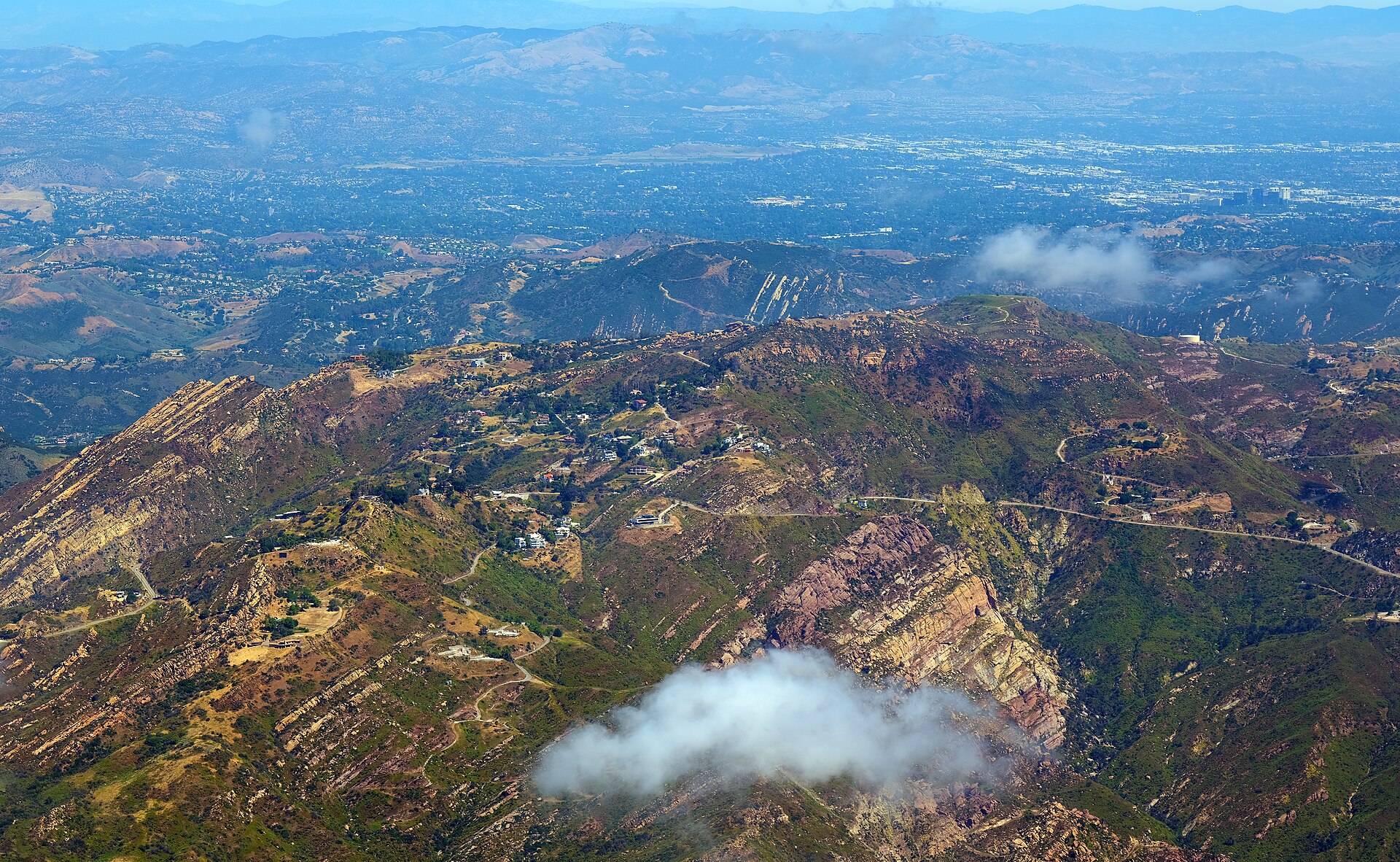
All evacuation orders and warnings for the Bryson Fire were lifted Saturday evening, October 17, 2026, ending the most urgent phase of a brush fire that started Thursday afternoon near Encinal Canyon Road and Mulholland Highway and burned through Santa Ana wind conditions in the hills near Malibu.
Los Angeles County, CAL FIRE and the City of Malibu all confirmed the lift in updates issued Saturday. CAL FIRE reported the fire at 61 percent contained in its 5:09 p.m. update on October 17, and followed at 6:20 p.m. with confirmation that evacuation orders had been lifted. The City of Malibu issued its own update at 6:45 p.m. Los Angeles County described the fire at 146 acres, while Malibu and CAL FIRE mapping put the footprint at 146.2 acres. An earlier aerial estimate had put the fire at 147 acres. Previously has covered Los Angeles County developments throughout the day, including the county's first recorded cychlorphine death and the warning that followed it.
Two zones stay on advisory
Two zones did not return to a completely clear status. Zones KAN-017 and SYC-016-A were downgraded to advisories, according to CAL FIRE, meaning residents in those areas could return but were asked to stay alert and ready. That distinction matters in the first hours after a lift, when firefighters are still working across the footprint and conditions can change along canyon roads and ridge lines.
Containment climbed steadily through the weekend. The fire was 39 percent contained on Friday at 9:14 p.m., 52 percent contained Saturday morning, and 61 percent contained by Saturday evening. Firefighters were continuing mop-up work across the footprint on Saturday night as crews worked toward full containment. Mop-up is the slow, physical part of the job after the main spread stops: checking for hot spots, turning over smoldering material, and making sure wind cannot pick up an ember and start the fire again outside the line.
Red Flag Warning expires, roads and power return
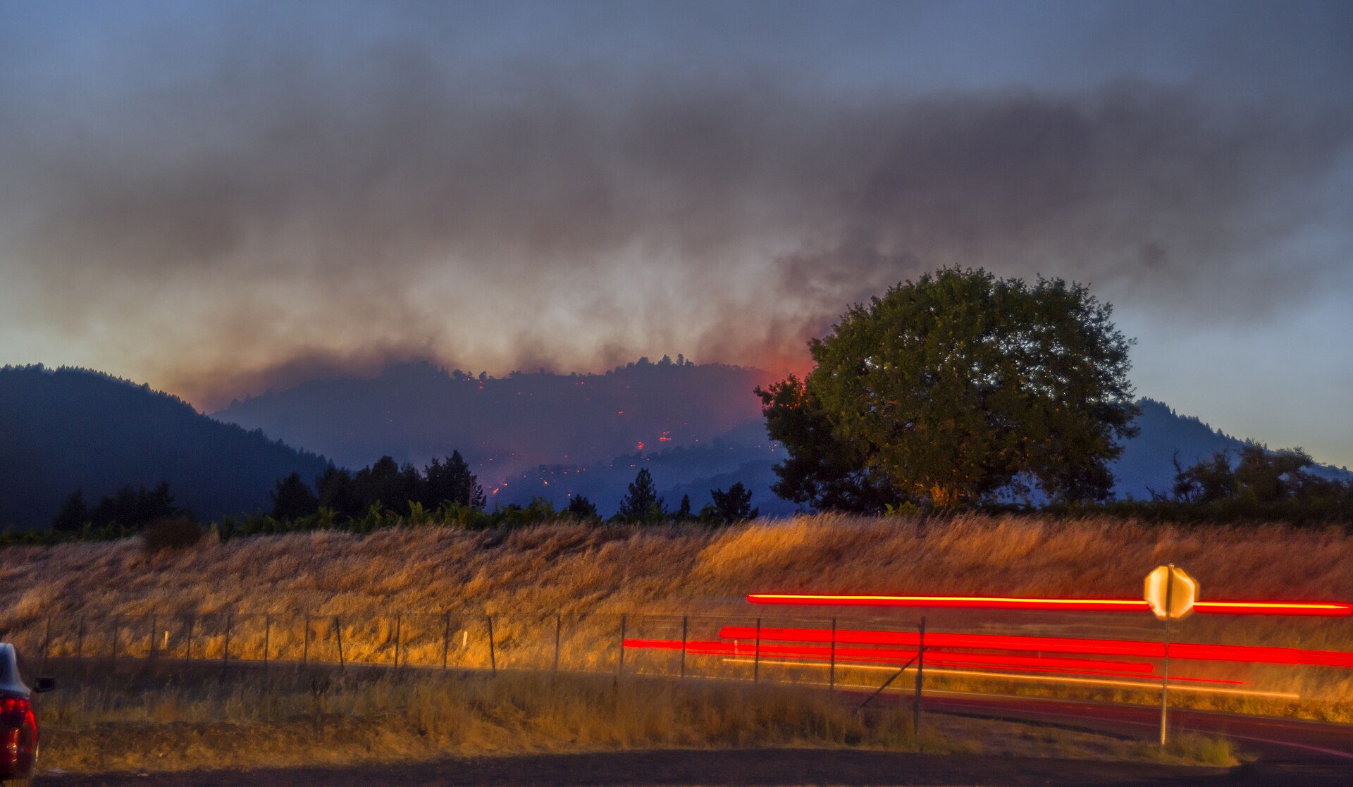
Weather helped on Saturday. The National Weather Service Red Flag Warning that had covered the fire area expired at 6 p.m. Saturday, October 17, on improved conditions. The fire had burned amid Santa Ana winds after it started Thursday afternoon, October 15, near Encinal Canyon Road and Mulholland Highway, close to Campus Vernon Kilpatrick. Red Flag conditions combine wind, low humidity and dry vegetation in a way that can let a small ignition grow quickly, which is why the expiration was a central part of Saturday evening's all-clear rather than a footnote.
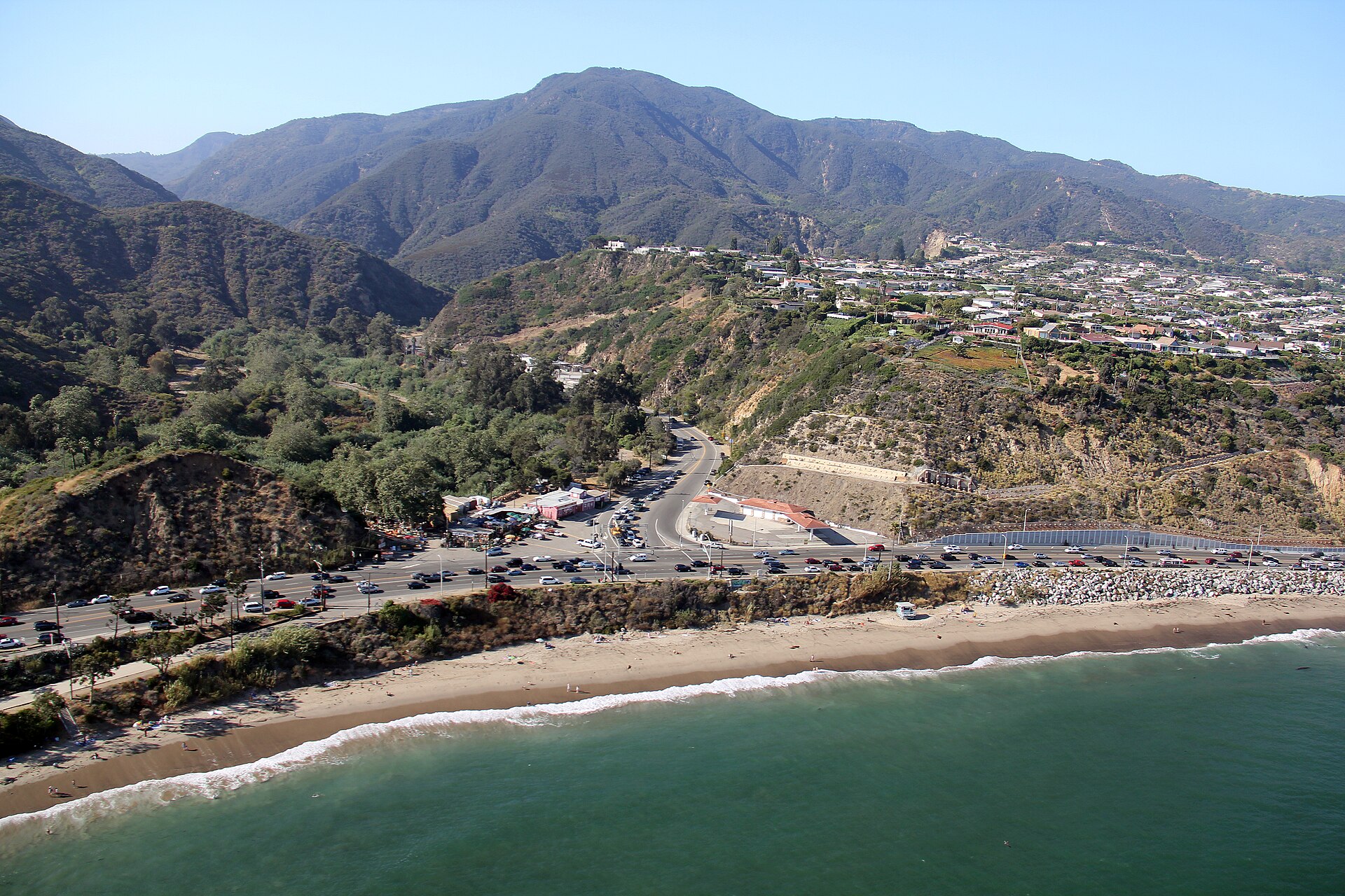
Roads and power came back with the lift. All roads that had been closed for the fire reopened, including Topanga Canyon Boulevard, a key route between the San Fernando Valley and the coast. Planned power shutoffs, known as Public Safety Power Shutoffs, were being canceled as conditions improved, and utilities were restoring power. The City of Malibu said Southern California Edison had restored power to all circuits in Malibu.
Youth return to Campus Vernon Kilpatrick, shelters close
The return also included a group of young people who had been moved out of the fire's path. Thirty-eight female and gender-expansive youth who had been temporarily relocated to Barry J. Nidorf Juvenile Hall were cleared to return to Campus Vernon Kilpatrick, according to Los Angeles County Probation information in the county release. Campus Vernon Kilpatrick sits near where the fire started, which had made its status one of the closely watched parts of the evacuation picture since Thursday.
Support sites stood down as residents returned. The shelter at Agoura High School closed. The large animal shelter at Pierce College also closed. The Agoura Animal Care Center returned to regular hours. The City of Malibu deactivated its Emergency Operations Center, and Malibu City Hall was set to resume normal operations on Monday, October 19.
The scale of the earlier response
The size of the response earlier in the incident shows why Saturday's lift took time. On Friday night, the response included 721 personnel, 65 engines and 2 helicopters, according to figures reported by CAL FIRE via MyNewsLA. On Friday morning, Fire Chief Anthony Marrone said no structures had been damaged or destroyed. By Friday evening, 7,221 structures had been described as threatened. One firefighter had been reported with minor injuries earlier in the incident. Those figures describe the earlier phase of the fire and were not updated as new damage or injury totals in Saturday evening's lift announcements.
For residents returning Saturday night, the official message was to go home and stay aware. The two advisory zones, KAN-017 and SYC-016-A, were the clearest sign of that approach. An advisory is not an evacuation order, and it is not a warning to prepare to leave. It is an instruction to remain alert and ready while crews finish work nearby. Residents elsewhere in the former evacuation area were cleared without that extra advisory status.
Saturday's outcome also closed a run of disruptions that had layered on top of each other: evacuations, road closures including Topanga Canyon Boulevard, planned power shutoffs, shelters opening to take in people and large animals, and a probation campus relocating its youth to another facility. Each of those pieces reversed on Saturday evening in the same set of updates. Often a fire lift happens in stages over several days. Here, the containment gain, the 6 p.m. Red Flag expiration, the road reopenings and the power restoration lined up on the same evening.
Crews keep working toward full containment
Crews were not done. At 61 percent contained, a substantial portion of the fire's perimeter still required work, and mop-up was continuing across the footprint toward 100 percent containment. Full containment means a control line around the entire perimeter that firefighters are confident will hold under expected conditions. Until that point is reached, residents near the footprint, especially in the two advisory zones, were asked to keep the alert posture officials described.
With shelters closed, the Emergency Operations Center deactivated and City Hall returning to normal operations on Monday, October 19, the official response was shifting from evacuation management to continued fireline work. The Bryson Fire will remain in the incident record at 146.2 acres by the Malibu and CAL FIRE mapping, and 146 acres in Los Angeles County's rounded figure. What changed on Saturday was not the size. What changed was that everyone who had been ordered or warned to leave could go home. More coverage from across the region is on Previously's news front.
Sources · 3 sources
- Los Angeles County (CJIC) — Official release on the Bryson Fire, October 17, 2026
- CAL FIRE — Bryson Fire incident updates, October 17, 2026 (5:09 p.m. and 6:20 p.m.)
- City of Malibu — City of Malibu Bryson Fire update, October 17, 2026, 6:45 p.m.