
LOS ANGELES
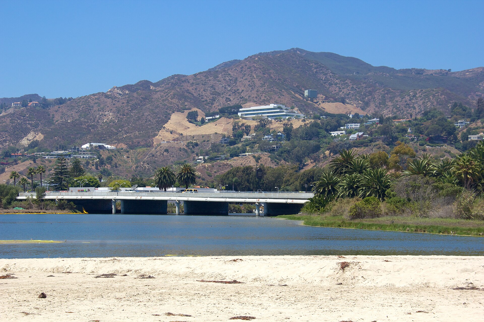
Los Angeles is about to get soaked in a way Octobers here almost never deliver. The first significant storm of the season, a system spinning off the California coast amid a strong El Niño, moves into Southern California on Wednesday, October 21, and stays through Thursday — and if the forecast holds, downtown Los Angeles will end the stretch with its wettest October since 2009.
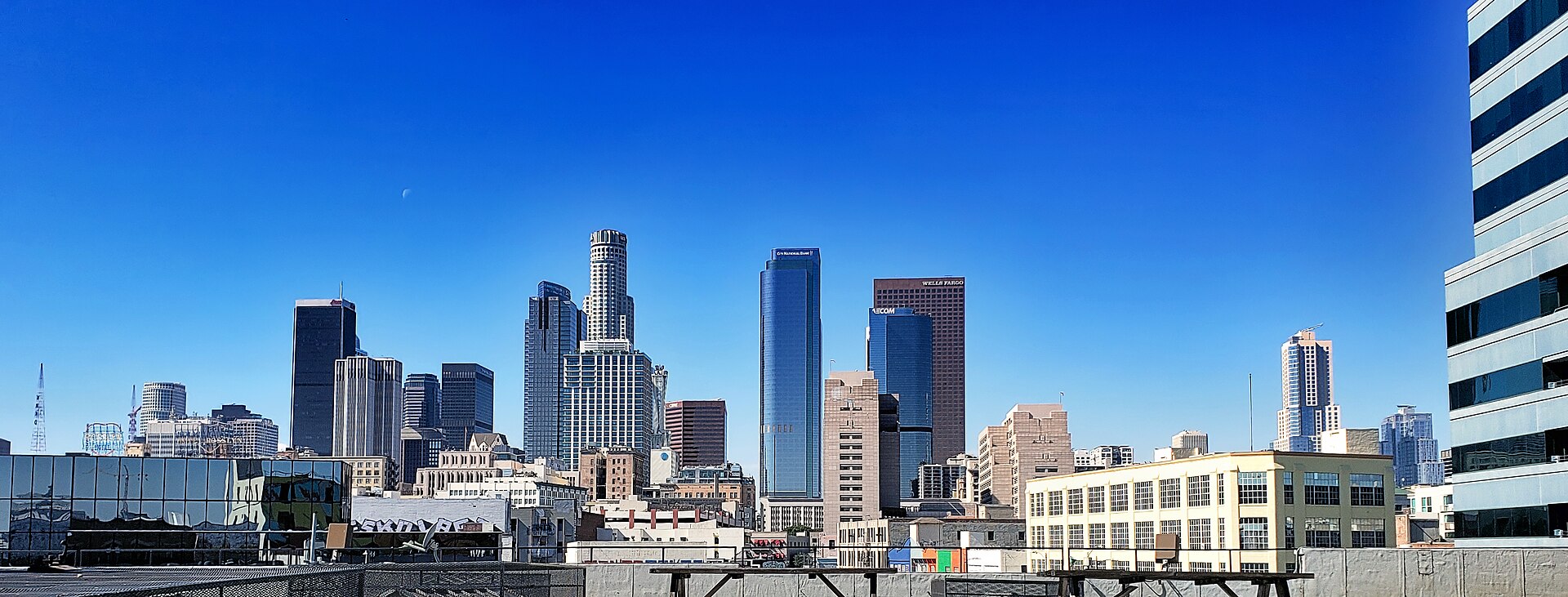
The National Weather Service has issued a Flood Watch for Los Angeles County from 8 a.m. Wednesday through 5 p.m. Thursday. Most coastal and valley areas are expected to receive between half an inch and 1.5 inches of rain, with up to 3 inches possible in higher terrain where the land itself squeezes more water out of the clouds. Downtown Los Angeles could pick up 1 to 1.5 inches through Thursday night — more than double the city’s normal rainfall for the entire month of October, in roughly two days.
“We are seeing rain totals trending upward,” meteorologist Bryan Lewis told the San Francisco Chronicle. “Late Wednesday morning through late Thursday morning will probably be the peak of it.” That upward trend is the part of this forecast that matters most for anyone making plans: each update has pointed wetter, not drier, and the window for the heaviest rain runs straight through the Wednesday commute, Wednesday night and Thursday morning.
A flood risk that stretches far beyond Los Angeles
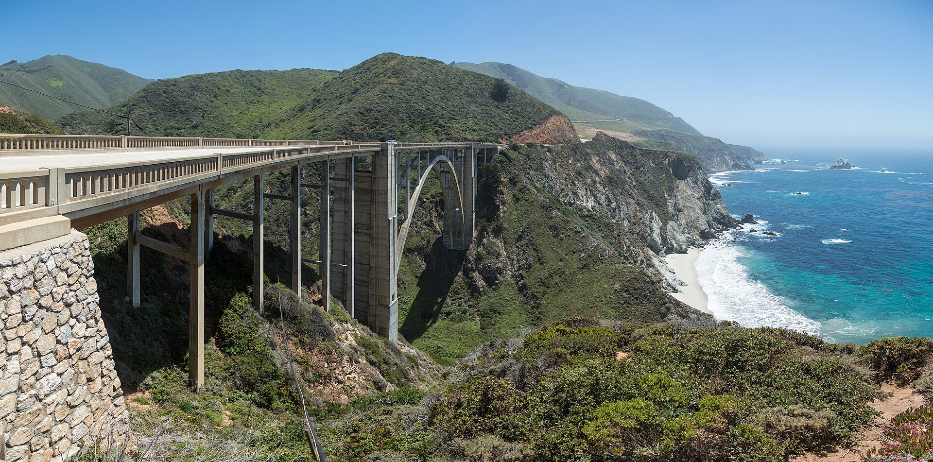
This is not just a Los Angeles story. The National Weather Service puts the Central and Southern California coast — from Monterey and Big Sur through Santa Barbara, Malibu, Long Beach and Newport Beach — at a slight risk of flash flooding, level 2 of 4 on the federal scale. Slight risk does not mean slight consequences. It is the category forecasters use when scattered flash flooding is possible, most often in exactly the places this storm is aimed at: steep coastal terrain, canyon roads, urban streets with poor drainage, and neighborhoods below recently burned hillsides.
The same Pacific system is pushing east as it comes onshore. Previously is tracking its arrival in Arizona in our Phoenix flood-watch coverage, where storms are expected Wednesday evening — a reminder that this is one large, connected weather event crossing the Southwest, not a set of unrelated local showers. What falls on the California coast on Wednesday becomes Arizona’s problem by Wednesday night. It is a busy week for American coastlines generally — Previously is also tracking a nor’easter bringing coastal flooding to the Carolinas and the Mid-Atlantic through Thursday.
Burn scars are the most dangerous ground in the storm
The sharpest danger in this storm is not the rain total. It is the rain rate over burned ground. The U.S. Geological Survey warns that as little as a quarter-inch of rain in 15 minutes could send debris flows across Highway 1 near the Timber and Plaskett burn scars on the Big Sur coast. Burned soil repels water instead of absorbing it, so a burst of rain that would be unremarkable on healthy ground can move as a slurry of mud, rock and ash downhill with almost no warning.
That is why officials are urging people to avoid burn-scar areas during downpours, full stop. If you live below a recent burn scar, the time to know your evacuation route is before the heaviest band arrives, not during it. And the oldest rule in flood safety still applies everywhere in this storm, city and coast alike: never drive through flooded roads. Most flood deaths happen in vehicles, in water that looked shallower than it was.
Yes, there is even a tornado risk — a rare one
Southern California does not do tornado watches often, which is part of what makes this system unusual. Forecasters put the region at a marginal risk, level 1 of 5, for a tornado or waterspout as the storm comes ashore. Marginal means isolated and brief if it happens at all — but combined with gusts up to 60 mph and cloud-to-ground lightning, it makes Wednesday and Thursday a poor time to be anywhere exposed: on the water, on a ridge, or under a tree in an open park.
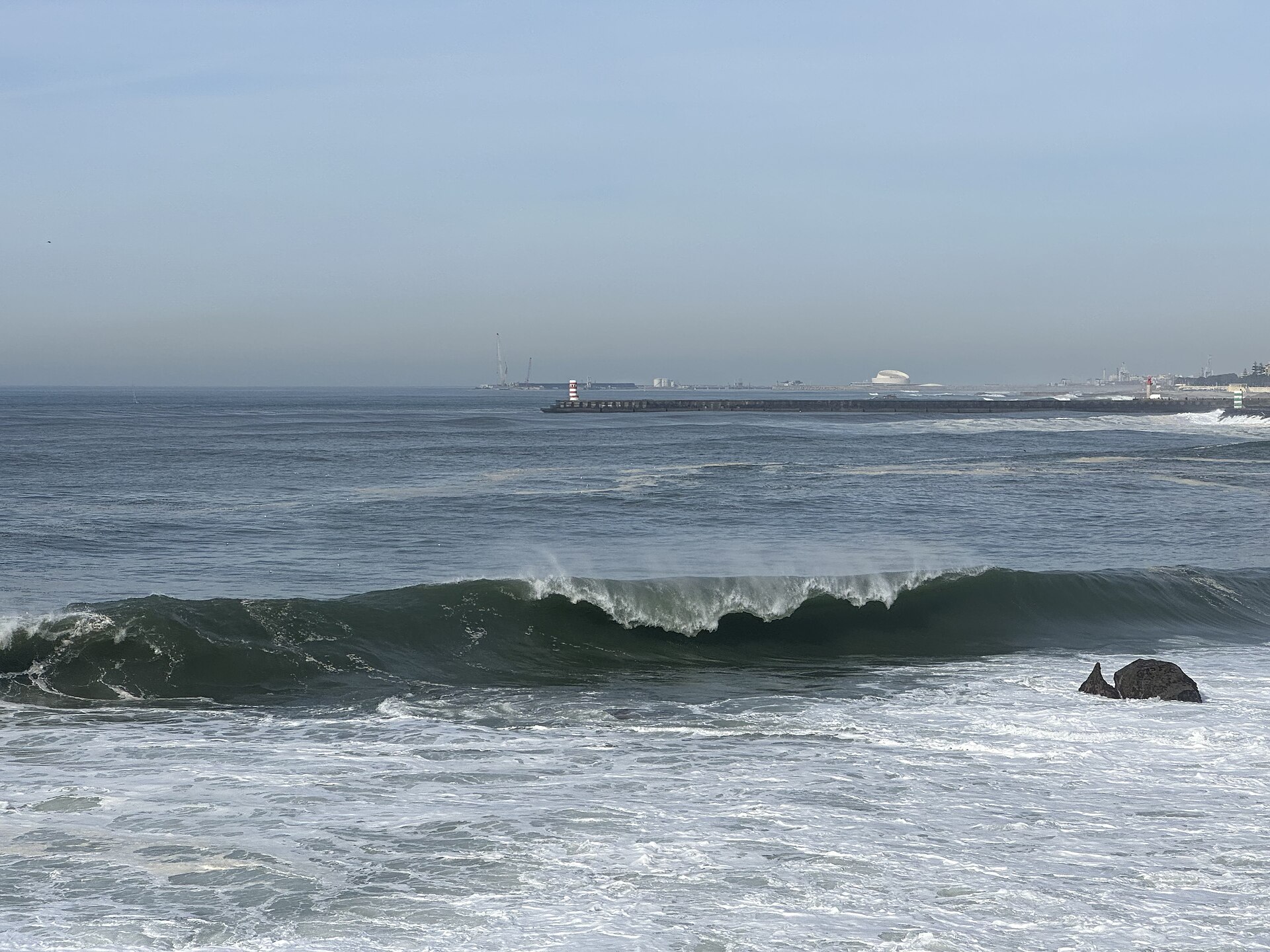
The ocean, meanwhile, will be doing its own version of the storm. High surf of 3 to 6 feet is expected on south- and southwest-facing beaches, with dangerous rip currents and tides topping 6 feet that could produce minor to moderate coastal flooding in low-lying beach communities. The guidance there is simple: stay off jetties, keep a real distance from the water’s edge, and do not turn your back on the surf to take a photo. Sneaker waves do not announce themselves.
Warm ocean, cold mountains
Two background facts explain why this October storm has so much to work with. Ocean temperatures off California are running up to 10 degrees above average, feeding extra moisture into the system as it approaches the coast — warmer water means more evaporation, and more evaporation means a storm that arrives carrying more rain than the calendar says it should. At the other end of the thermometer, the Sierra Nevada is expected to pick up as much as 10 inches of snow above 8,000 feet, an early-season deposit that would be notable in November, let alone October.
Put together, this is what a strong El Niño fall can look like in California: a wet coast, a snowy high country, and a desert Southwest downstream of both. For Los Angeles, the headline number will be settled by Thursday night, when the gauges downtown either confirm the wettest October in 17 years or leave it just short. Either way, the city is getting more than twice its normal October rain in about 48 hours, and the Flood Watch — 8 a.m. Wednesday to 5 p.m. Thursday — is the window to plan around. Charge the phone, clear the drains you can reach safely, and give yourself extra time on every road, every trip, until the system clears.
Sources · 3 sources
- New York Post — Los Angeles braces as rare tornado threat issued for SoCal, Oct. 21, 2026
- San Francisco Chronicle — California storm coverage, Oct. 2026
- National Weather Service and U.S. Geological Survey advisories, via the reporting above