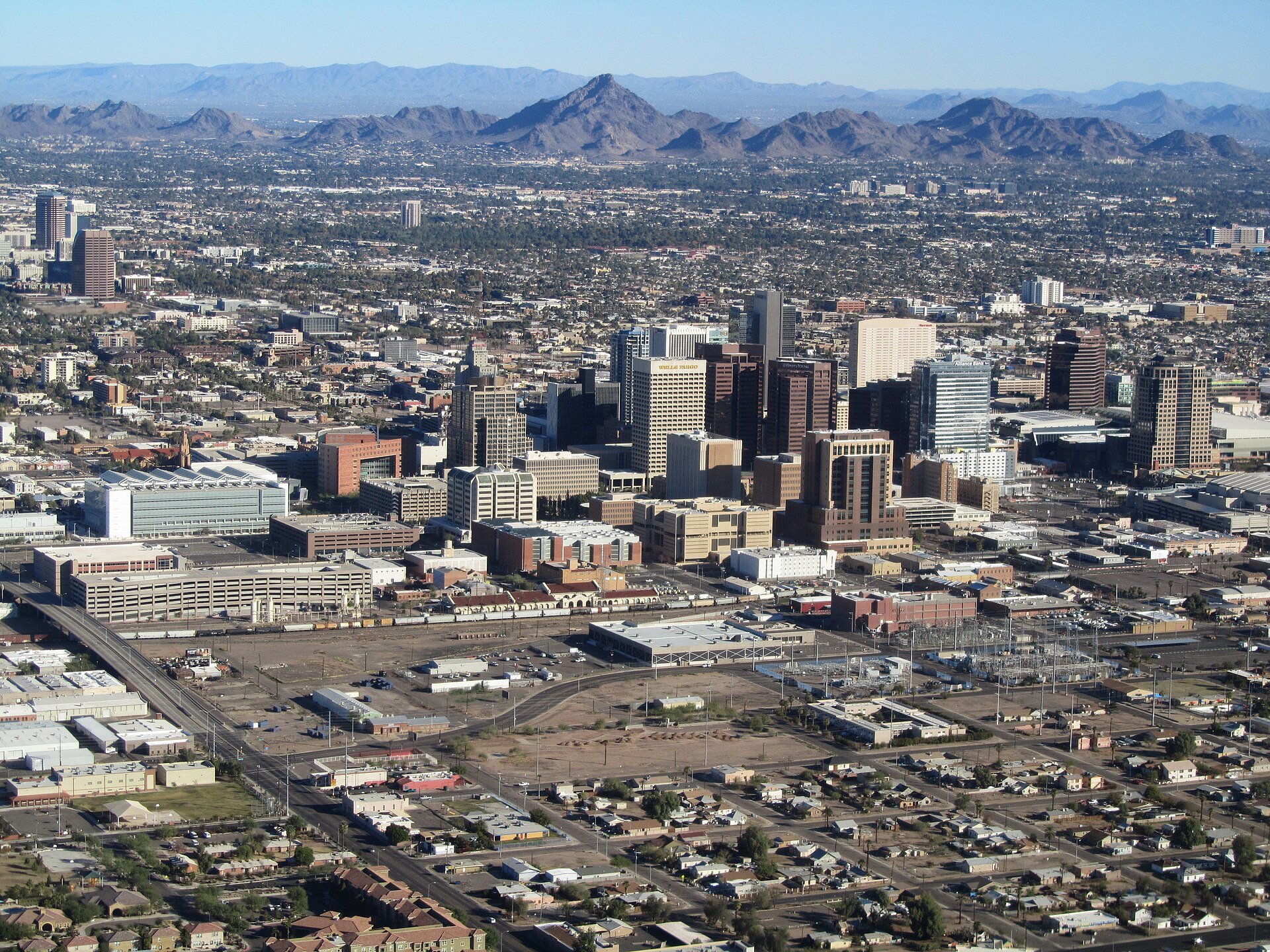

TUESDAY, OCTOBER 20, 2026 · PHOENIX, ARIZONA
PHOENIX — A Flood Watch covers much of Arizona, including metro Phoenix, for Wednesday into Thursday, as a slow-moving Pacific storm system pulls moisture into the Southwest and sets off rounds of showers and thunderstorms. AZFamily (KTVK/KPHO) First Alert Weather reported that the Flood Watch runs from Wednesday morning through Thursday afternoon for much of Arizona, including the Phoenix metro. Weather.com’s alert listing for Phoenix shows the Flood Watch in effect Wednesday at 8:00 p.m. MST until Thursday at 5:00 p.m. MST — different listings frame the start of the window differently, so the practical takeaway, as AZFamily reported, is a watch spanning Wednesday into Thursday afternoon, and residents should check the latest National Weather Service alerts for their exact location.
AZFamily designated Wednesday and Thursday as First Alert Weather Days, its marker for weather likely to affect daily life. According to AZFamily, flash flooding will be likely in many locations as the storms move through, and the rain could affect two days of drive times across the Valley.
How much rain, and where the most falls
According to AZFamily, the Valley could see up to about one inch of rain around town, with most areas receiving less than that. The mountains north and east of the Valley could see more, AZFamily reported. That pattern — modest totals in the city, higher totals in the high terrain — is the shape forecasters expect from this system, according to AZFamily’s First Alert Weather reporting.
The totals, however, are not the whole risk. As AZFamily reported, the concern is how the rain arrives: showers and thunderstorms can drop water faster than desert ground and city drainage can handle it, which is why AZFamily reported flash flooding is likely in many locations even where storm totals stay under an inch. A single slow-moving thunderstorm over one neighborhood can produce flooding that a citywide average would never suggest.
Flooding and microbursts lead the concerns — not tornadoes
There has been considerable discussion of tornado chances in Arizona on Wednesday, and AZFamily addressed it directly: according to AZFamily, a small spin-up tornado cannot be ruled out, but forecasters there are more concerned about flash flooding and the potential for microbursts. AZFamily noted that a similar setup last October produced a huge microburst in Tempe — a reminder, in the station’s reporting, that this kind of system has a recent local track record of damaging wind as well as heavy rain.
The wider severe-weather picture points the same way. According to AZFamily, the latest maps from the Storm Prediction Center show most of Arizona has a chance of thunderstorms on Wednesday, while eastern Arizona has a slightly elevated chance of severe weather pegged at 15 percent — an area that extends into the far East Valley, according to AZFamily. In other words, as AZFamily reported, thunderstorms are the expectation almost everywhere in Arizona on Wednesday, with the severe risk concentrated to the east.

The system behind it: a Pacific low cutting off off California
According to AZFamily, the storms are the result of a Pacific low-pressure system that is expected to essentially cut off and spend time off the coast of California, pulling moisture into Arizona. The low will also destabilize the atmosphere, AZFamily reported, helping thunderstorms develop. A cut-off low is, by nature, slow-moving — which is why, as AZFamily’s Wednesday-through-Thursday First Alert Weather Days reflect, this is a two-day event rather than a single fast-passing front.
The change will be felt in temperatures as well as rain. According to AZFamily, high temperatures in the Valley on Tuesday were in the low 90s, while highs are likely to fall into the 70s by the end of the week — a drop of roughly fifteen degrees or more behind the storm system, in AZFamily’s forecast. Weather.com’s Phoenix forecast showed the transition beginning Wednesday, with scattered strong storms and a high in the mid-80s, according to Weather.com.
The system was already making itself known Tuesday night. Weather.com’s alert listing for Phoenix on Tuesday night showed a Severe Thunderstorm Warning in effect from 9:49 p.m. to 10:30 p.m. MST and a Special Weather Statement, ahead of the Flood Watch window. Those Tuesday-night alerts, as listed by Weather.com, were the leading edge of the same unsettled pattern AZFamily expects to peak Wednesday and Thursday.
The Las Vegas side of the same system
Southern Nevada sits on the western edge of the same storm family. According to Las Vegas Sun reporting on the National Weather Service forecast for Las Vegas, the midweek system brings gusty winds to the Las Vegas Valley on Tuesday and Wednesday and a chance of isolated thunderstorms Wednesday night into Thursday. Weather.com’s Las Vegas forecast showed a high near 79 degrees on Wednesday, with isolated thunderstorms Wednesday night. The Las Vegas Sun, citing the National Weather Service, forecast a sharper cooldown behind the system, with highs dropping to about 72 degrees on Thursday, and the Sun reported rain chances around 30 percent as the system moves through.
For Las Vegas, the timing carries a recent memory. As the Las Vegas Sun reported, Las Vegas recorded 1.08 inches of rain on October 11 from the remnants of Tropical Storm Rachel, tying an October daily rainfall record. That storm, the Sun reported, flooded streets in the valley. This week’s system is not a tropical remnant, and forecast rain chances for Las Vegas — around 30 percent, according to the Sun’s reporting of the National Weather Service forecast — are far lower than what Phoenix faces under its Flood Watch. But in a desert city, as the Sun’s reporting on the Rachel remnants showed, even a single inch of rain in a day is record-tying territory, and washes and low crossings can fill quickly.
What to do during a Flood Watch
A Flood Watch means flooding is possible, not certain — but Wednesday and Thursday in metro Phoenix, and Wednesday night into Thursday in Las Vegas, are the times to plan around the possibility, based on the AZFamily and National Weather Service forecasts cited above. A few basics apply wherever this system travels:
- Never drive through flooded roads or crossings. Water can be deeper than it looks, can hide washed-out pavement, and can move a vehicle in surprisingly shallow flow. Turn around and find another route.
- Give yourself extra time. AZFamily reported the rain could affect two days of drive times in the Valley; wet roads and ponding slow traffic even where no road fully floods.
- Stay out of washes, drainage channels and low crossings during and after storms — in the desert, water can arrive from rain that fell miles away.
- Secure loose outdoor items and expect gusty winds and possible microbursts, the wind threat AZFamily highlighted alongside flooding.
- Check updated alerts before you travel. Conditions under a cut-off low change quickly; the National Weather Service issues the official watches and warnings for both Phoenix and Las Vegas, and AZFamily’s First Alert Weather team is updating the Valley forecast through the event.
More Southwest coverage: our report on L.A. County storm-damage tax relief and reassessment, today’s Phoenix story on Phoenix Children’s and Medicaid funding, and our news front for updates as the system moves through.
By the end of the week, according to AZFamily, the system moves on and Valley highs settle into the 70s — a genuine taste of fall after Tuesday’s low-90s heat. First, though, the Southwest has two wet, unsettled days to get through, and in Phoenix, as AZFamily’s First Alert Weather reporting makes clear, the water — not the wind, and not the tornado talk — is the thing to respect.
Sources · 4 sources
- Flooding, thunderstorms and travel delays: What Phoenix can expect Wednesday AZFamily (KTVK/KPHO) First Alert Weather · Oct 20, 2026
- Phoenix, Arizona — Live Weather & Forecast, Alerts Weather.com · Oct 20, 2026
- Strong storms, heavy rain to return to Phoenix, bringing flood watch Arizona Republic · Oct 20, 2026
- Midweek Storm to Bring Rain, Wind, Cooler Air to Las Vegas Las Vegas Sun reporting via News in Las Vegas · Oct 2026
Metro: Phoenix · Southwest · Section: News