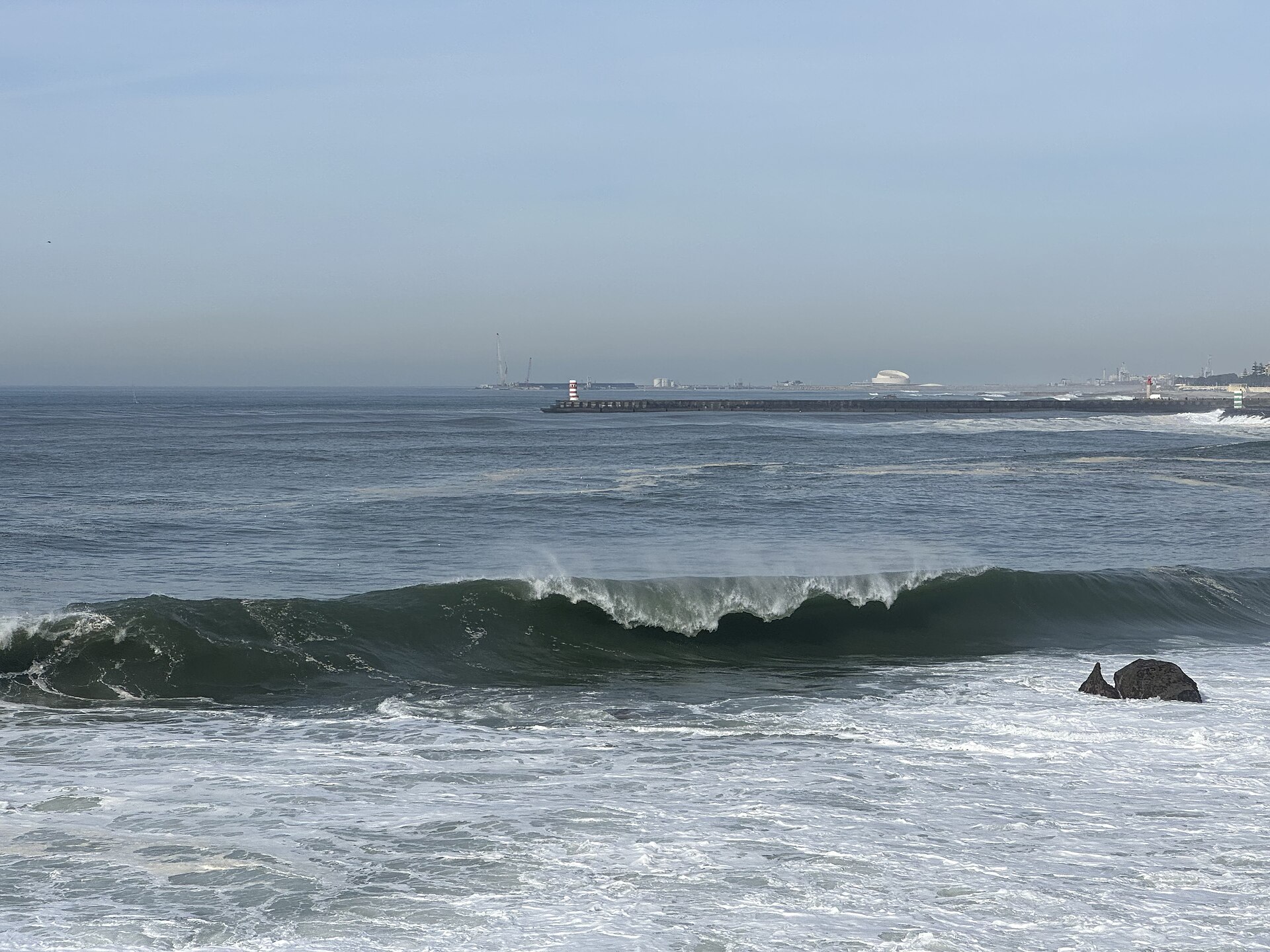

HATTERAS, N.C.
A nor'easter spinning off the North Carolina coast is set to grind along the Eastern Seaboard for days, delivering gusty winds, destructive surf and repeated rounds of coastal flooding from the Outer Banks to New England through Thursday. According to FOX Weather, the storm — tagged Invest 93L by the National Hurricane Center, a designation indicating it could take on subtropical or tropical characteristics — is forecast to remain offshore, drift slowly north and northeast, and finally pull away late in the week when a dip in the jet stream arrives on Thursday.
Why this storm is barely moving
The problem, FOX Weather explained in its analysis updated Tuesday morning, is a blocking pattern over the Atlantic that has the storm stuck in place. That analysis, by FOX Weather hurricane specialist Bryan Norcross, describes a long corridor of northeast winds, driven by high pressure sitting north of the Great Lakes, blowing persistently onshore — piling water against the coast day after day rather than in a single surge. Weather.com offered a similar picture of the track, reporting that the low is expected to stay well offshore and meander northeast, ending up off Massachusetts by Thursday and bringing strong winds and rough conditions to Cape Cod before conditions improve on Friday and into the weekend.
FOX Weather also reported that the Hurricane Center is giving the system medium odds of taking on tropical or subtropical characteristics — if it does, it would take the next name on the Atlantic list, Josephine. Forecasters stress that the name changes nothing about the impacts: named or not, FOX Weather reported, the storm's slow drift and the persistent onshore flow behind it are what keep the water coming back at every high tide.
The Outer Banks take the hardest hit
Nowhere is the storm hitting harder than North Carolina's Outer Banks. FOX 29 Philadelphia reported that Hatteras Island is under a mandatory evacuation because of significant ocean overwash, and that sections of Highway 12 — the two-lane lifeline through the barrier islands — have been shut down. FOX Weather likewise reported portions of Highway 12 closed due to flooding, noting the road is frequently overwashed during coastal storms. According to FOX Weather, the main concern for the region is prolonged periods of wind gusts over 40 mph, fueling both the flooding and destructive waves.
Public Radio East reported that the North Carolina Department of Transportation closed Highway 12 from the Marc Basnight Bridge to Rodanthe after waves eroded the dunes and pushed sand and ocean water across the pavement, and that the storm is the Outer Banks' second severe beating in less than a month. The vulnerability is long-running: FOX Weather noted that the area around Cape Hatteras has been fighting a coastal-erosion crisis for years, with 32 homes collapsing into the ocean since 2020 — which is why officials there treat a slow, grinding nor'easter with the same seriousness as a hurricane landfall.
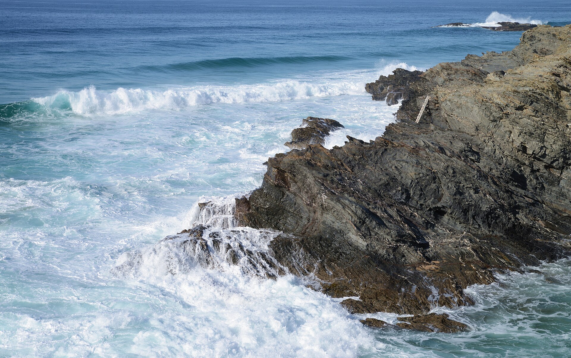
Weather.com warned of dangerous surf and rip currents along the coast, with coastal flooding expected at high tide from North Carolina to the Delmarva. FOX 29 Philadelphia reported the same rhythm further north: the highest waves and greatest flooding risk come during the afternoon and evening high tides, which generally fall between 3 p.m. and 7 p.m., and the FOX Forecast Center expects the harshest conditions to last through late Wednesday night and into Thursday.
Water rises up the Mid-Atlantic coast
In Maryland, FOX 29 Philadelphia reported, water levels in Ocean City and around the Chesapeake Bay could rise more than two feet above typical levels. The Jersey Shore and Delaware beaches face their own tidal flooding through the week — though the outlets characterizing it differ slightly: FOX 29 Philadelphia described the flooding threat as moderate, while NBC10 Philadelphia said tidal communities could see one more round of minor flooding near high tide, with improvement expected later in the week. Either way, both outlets agree the pattern repeats with each high tide until the storm moves off.

FOX Weather noted that the invest designation means the Hurricane Center will deploy additional forecast tools to track the system, and that regardless of any tropical development, the coastal impacts — high-tide flooding, gusty winds and beach erosion across the Outer Banks and Delmarva — will continue for days.
What coastal residents should watch
Until the jet-stream dip arrives Thursday and the storm pulls away, FOX Weather and Weather.com both emphasize the same practical points: expect flooding to peak around high tide rather than at any single moment, treat ocean overwash on coastal roads as a hard stop rather than an obstacle to drive through, and stay out of the surf, where rip currents will remain dangerous even between the worst of the wind gusts. With improvement expected Friday and into the weekend, according to Weather.com, the back half of the week should bring a slow return to normal along the coast — just not before several more high-tide cycles have had their say. Follow the latest on the Previously news front, including our coverage of the deadly flooding in Spain.
Sources · 5 sources
- FOX Weather — Nor'easter set to bring coastal flooding, strong winds and surf to the East Coast (Bryan Norcross analysis, updated Oct. 20) (October 20, 2026)
- Weather.com — Nor'easter forecast coverage: offshore track, Thursday position off Massachusetts, Friday improvement (October 20, 2026)
- FOX 29 Philadelphia — Mid-Atlantic impacts: 40 mph gusts, high-tide flood peaks, Hatteras evacuation, Ocean City water levels (October 20, 2026)
- NBC10 Philadelphia — Jersey Shore and Delaware beaches: one more round of minor tidal flooding (October 20, 2026)
- FOX 5 New York — Nor'easter churning off Mid-Atlantic coast to bring dangerous rip currents to New Jersey beaches (October 20, 2026)