
NORTH LAS VEGAS, TUESDAY, OCTOBER 13, 2026
Every growing city eventually has the same argument, just with different street names. In North Las Vegas, the street name is Carey Avenue, the argument is about an airport, and the decision in front of the city is unusually concrete: to give North Las Vegas Airport the longer, wider runways its master plan says it needs, roughly half a mile of Carey Avenue — between Simmons Street and Allen Lane — would close permanently.
The airport's Final Master Plan makes that trade explicitly. The extension, the airport says, is needed to meet Federal Aviation Administration standards for the aircraft it serves, and rerouting Carey was necessary under all of the alternatives considered. In other words, according to the plan's own logic, there was no version of a compliant, expanded airfield that left that stretch of road exactly where it is. That framing will matter in the months ahead, because it turns a neighborhood argument about traffic into a standards argument about what kind of airport North Las Vegas intends to keep.
Why this airport matters more than its size suggests
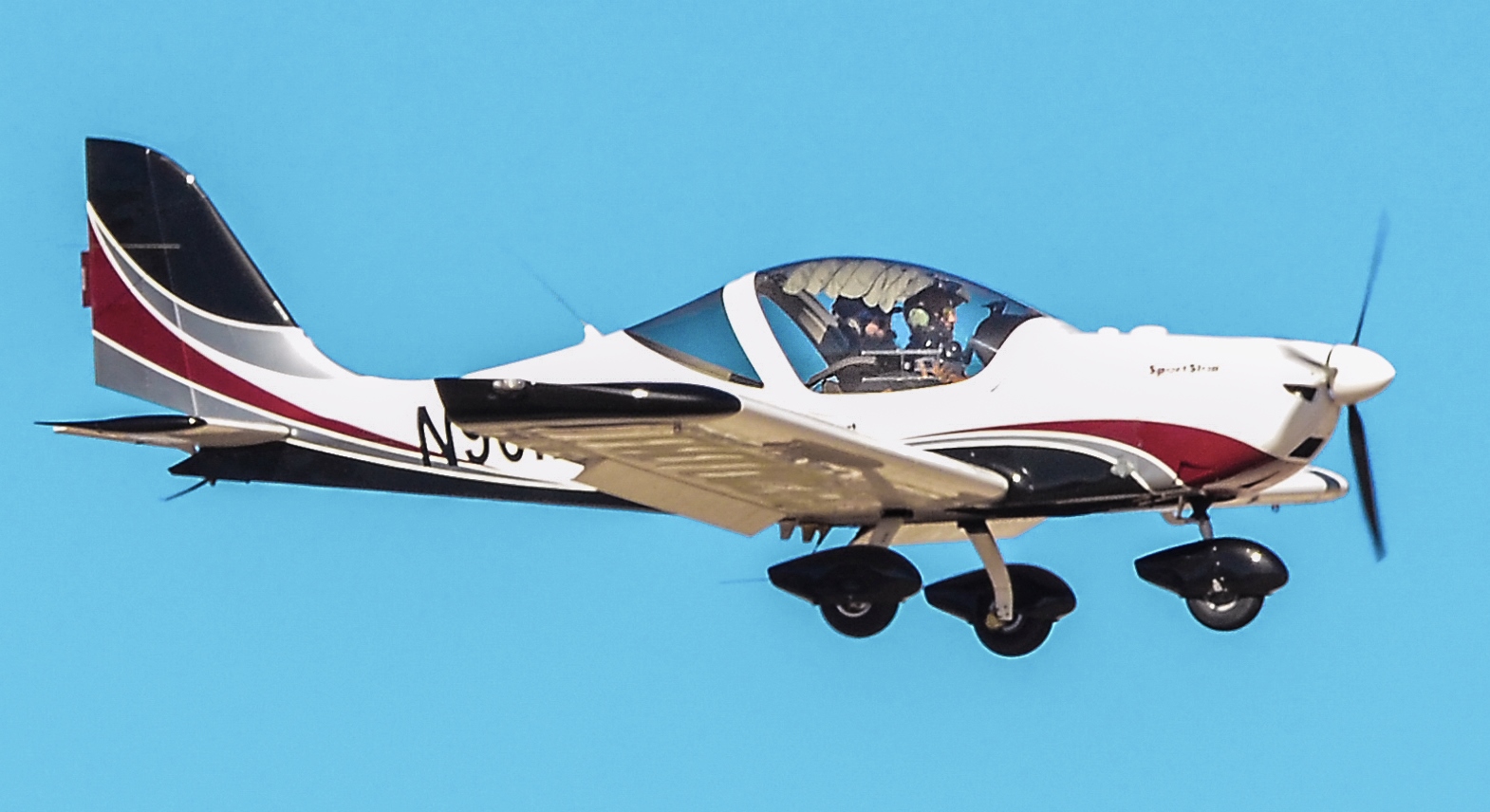
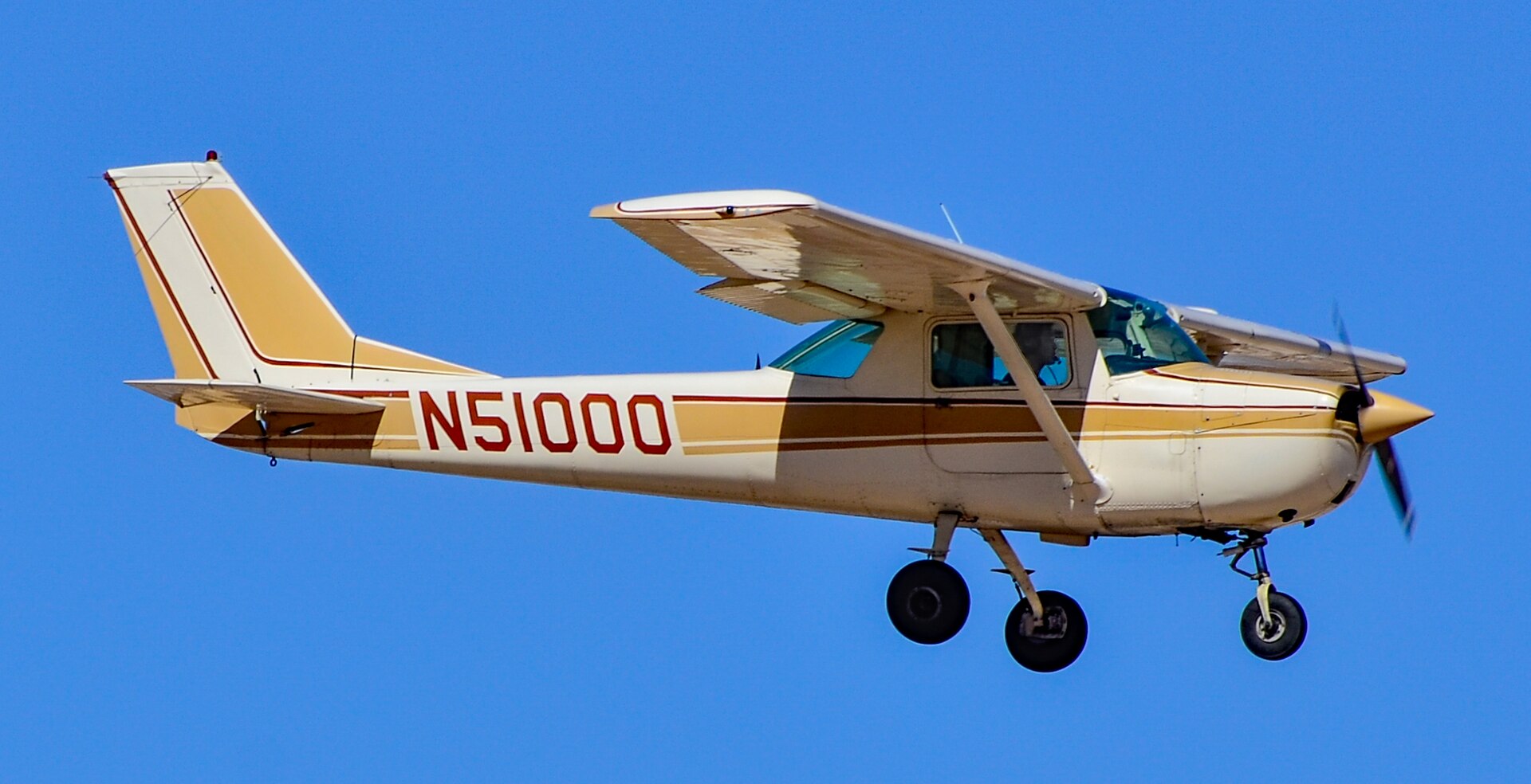
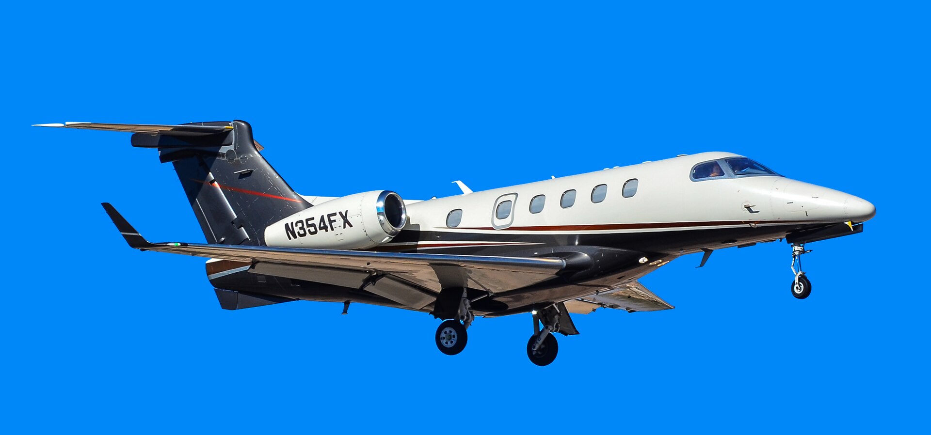
North Las Vegas Airport — call sign VGT — is easy to underestimate if you judge airports by airline departure boards. It has none of that. What it has is a federally recognized job. VGT is one of only two FAA-designated National Reliever Airports in Nevada, handling general aviation, corporate flying, charter operations and flight training as an alternative to Harry Reid International Airport, the valley's big commercial hub to the south.
Reliever status is not a courtesy title. It is how the national system keeps smaller aircraft, training flights and corporate traffic out of the way of airline operations at a major hub — and it only works if the reliever field itself can safely handle the aircraft assigned to that role. That is the context for the runway argument: as the aircraft using VGT evolve, the FAA standards attached to them evolve too, and a runway plan that was adequate for an earlier generation of traffic can quietly stop being adequate on paper long before it feels inadequate from the cockpit.
The road, in numbers
If the airport's side of the ledger is written in standards, the neighborhood's side is written in daily habit. More than 13,000 vehicles use Carey Avenue every day. It is not a shortcut or a scenic route; for the people who live and work around it, it is simply how you get across that part of the city — to work, to school, to the shops on the Lake Mead Boulevard side.
The traffic studies attached to the plan try to answer the obvious follow-up: where does all of that go? The forecast is for 23 percent growth in traffic by 2050, even before the closure is layered in. Of the traffic displaced from the Carey segment, about 59 percent is expected to shift to Lake Mead Boulevard, roughly 15 percent to Cheyenne Avenue, and the rest to other streets in the network. The plan includes a new connector linking Carey Avenue with Lake Mead Boulevard, along with other roadway upgrades, and the study's headline finding is reassuring on its face: overall regional travel times are not expected to rise by 2050 — though peak hours, the study acknowledges, could feel the change.
That last clause is where the public argument will live. Averages and peak hours are different experiences. A model can show a region moving just as efficiently overall while a specific driver, on a specific school morning, on a specific stretch of Lake Mead, feels every added car. Some neighbors, in local coverage of the plan, have been openly skeptical about exactly that — where the traffic truly ends up, and what happens to access to shopping on the Lake Mead side if the most direct route disappears. Those are not anti-airport arguments so much as anti-surprise arguments: residents asking that the lived version of the plan match the modeled one.
A city rewriting its own plan at the same time
The airport decision is not happening in isolation, and this week North Las Vegas made that literal. On October 12, the city opened an online survey — running through mid-November — for its 2055 Master Plan, a wholesale update covering housing, traffic, jobs, parks, sustainability, public services and safety. For more on how the wider city is changing, see our latest news coverage and this week's Vegas Eats roundup.
The timing underlines how much has changed since the city last did this. North Las Vegas's current master plan dates to 2006, and the city has added about 100,000 residents since then. A plan written for the smaller city is now being replaced by one written for the larger one — with a full year of outreach and stakeholder meetings planned, and adoption expected in 2027. The airport question fits neatly inside that larger one: a 2055 plan that assumed a 2006 airport, or a 2006 road network, would not be a plan at all. It would be a souvenir.
The real question underneath both plans
Strip away the acronyms and the two efforts — the airport's Final Master Plan and the city's 2055 Master Plan — are asking the same question from opposite ends: what does North Las Vegas owe the future version of itself, and what does it owe the people who live here right now?
The airport's answer leans toward capacity and compliance: keep VGT credible as a national reliever, meet the standards for the aircraft it serves, and build the connector and upgrades that are supposed to absorb the displaced traffic. The neighbors' answer leans toward proof: show us the traffic really lands where the study says it will, show us the Lake Mead side stays reachable, and show us the peak-hour pain is temporary rather than permanent.
Both answers can be honored, but only if the details are treated as commitments rather than forecasts — the connector built as promised, the roadway upgrades sequenced before or alongside any closure rather than after it, and the city's 2055 outreach used as a genuine place for Carey Avenue drivers to be heard, not just counted. The survey that opened this week is, conveniently, one of the places that conversation can actually happen.
North Las Vegas has grown by roughly 100,000 people under a plan written in 2006. The airport and the city are now, at the same moment, drawing the map for the next 100,000. Carey Avenue is half a mile of that map. It is also, for more than 13,000 drivers a day, the way home — and getting both of those facts into the same plan is the whole job.
Sources · 3 sources
- FOX5 Vegas reporting, Oct. 13, 2026, via 105.7 Maxima and local coverage
- North Las Vegas Airport Final Master Plan
- City of North Las Vegas 2055 Master Plan survey, opened Oct. 12, 2026