
SATURDAY, OCTOBER 10, 2026
The ground in Panama still hasn’t settled. A day after a 7.7-magnitude earthquake ripped through the country’s south, the damage assessment kept growing all day Saturday: more than 400 buildings damaged across nine provinces, 188 schools damaged badly enough to suspend classes nationwide, 20 health facilities affected, and a string of more than 150 aftershocks — including a magnitude 6.6 — rattling a population spending its second night sleeping outside. Twenty-seven people suffered minor injuries. Remarkably, and so far, no deaths.
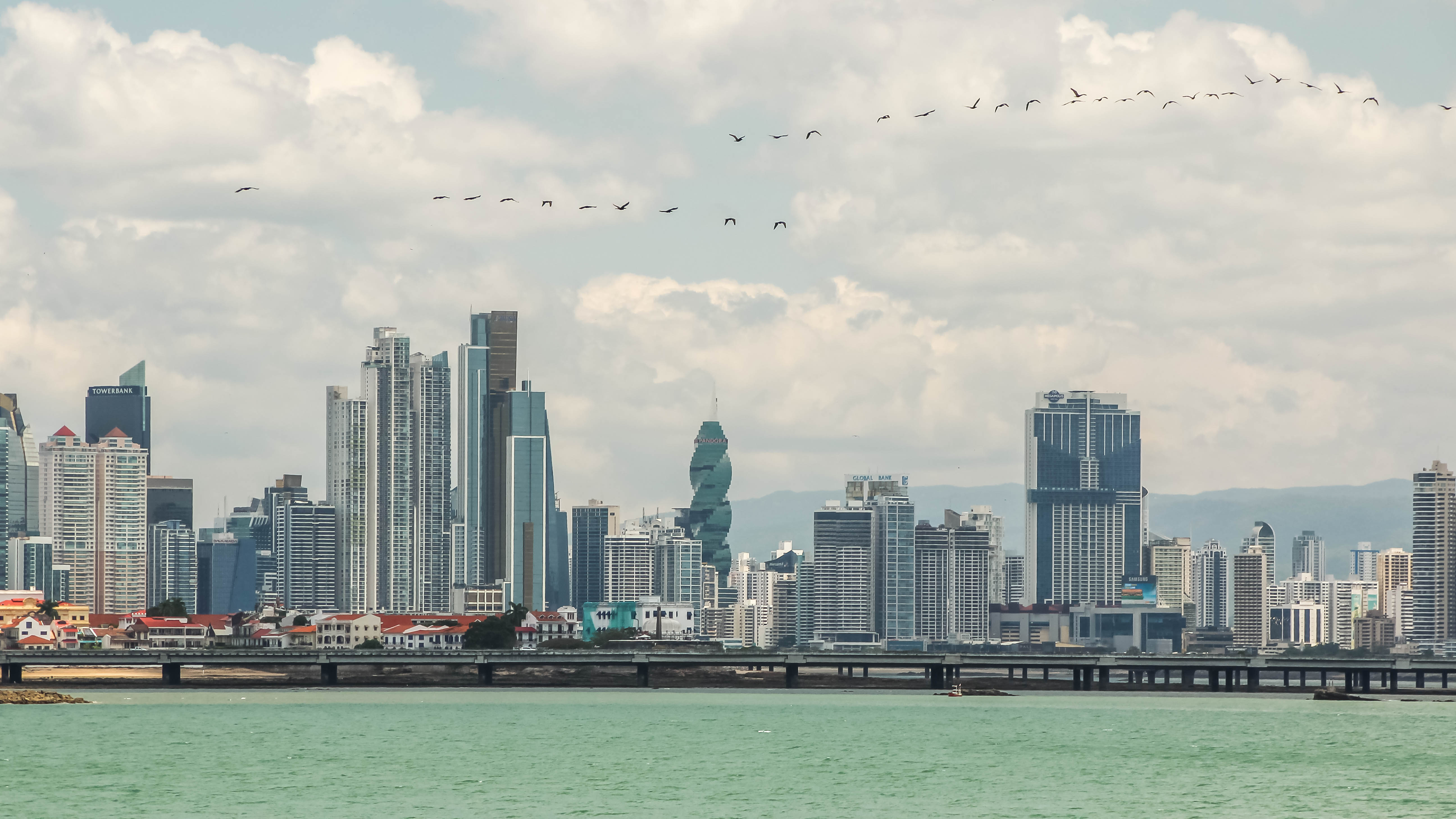
Friday’s main shock was a monster by any measure: magnitude 7.7, shallow at roughly 10 to 12.6 kilometers deep, with an epicenter near Pitaloza Arriba in Herrera province, tied by Panama’s geosciences institute to the Azuero-Soná fault system, where tectonic pressure had been building along the southern margin of the microplate. The U.S. Geological Survey estimated about 43,000 people were exposed to severe shaking. In Panama City, 200 kilometers away, thousands of office workers poured into the streets as buildings swayed and traffic seized up.
Where it hit hardest
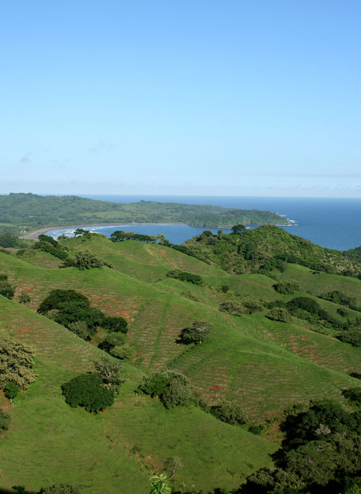
The damage map centers on the Azuero Peninsula and the central provinces: Los Santos, Cocle, Herrera and Veraguas took the worst of it. Homes, hotels, hospitals, schools and historic structures were damaged. In Penonome — the city between the epicenter and the capital that President Jose Raúl Mulino visited Saturday — reports described collapsed buildings, damaged homes, a damaged church, and vehicles crushed under debris. The town of Tonosi, in Los Santos province, remains cut off by land, with emergency crews struggling to reach isolated communities over collapsed roads and bridges and around landslides.
The school number tells its own story: 188 schools reported damaged, and the government suspended classes across the country while engineers inspect buildings. Twenty health facilities were affected, with hospitals treating patients outside rather than risk compromised structures. Electricity disruptions hit six provinces. And the aftershocks keep coming — more than 150 by Saturday, shallow ones continuing along the fault zone, forcing families to stay outdoors and complicating every inspection.

The tsunami scare, the seawater, and the all-clear
In the first hours after the main shock, tsunami alerts went out for Pacific coastlines across the region — Panama, Costa Rica, Colombia, Ecuador, Nicaragua, Guatemala, with alerts as far afield as El Salvador and Chile’s Easter Island. They were all lifted. But the ocean made its presence felt anyway: on Isla Canas, off the southern coast of Los Santos province, seawater reached homes and forced around 300 people to evacuate. Panama’s geosciences institute had warned of waves of 3 to 10 feet around the island and the southern Los Santos coast.
The canal, the airport, the economy
For a country whose economy runs through two chokepoints, the infrastructure news was cautiously good. The Panama Canal Authority reported operations along the shipping route remained normal — some accounts noted minor facility damage, but vessel traffic continued and engineers moved quickly through structural checks of the locks. Tocumen International Airport, which suspended flights Friday as a precaution, completed safety inspections and reopened; Copa Airlines began repositioning aircraft and crews, warning of residual delays through the weekend, and put flexibility measures on tickets issued on or before October 9 covering October 9-10 travel — free rebooking through October 31.
The bigger economic question is just opening. Preliminary assessments suggest losses could be substantial, though the full financial impact hasn’t been established. The government has contacted international lenders to help cover urgent recovery needs, and the United States and several Latin American countries offered assistance — though reaching remote communities remains the immediate hard problem. Recovery, officials acknowledge, could take months or longer, and the full scale of the disaster is still uncertain with assessments underway.
The science of why it was so strong
Panama sits on one of the most complicated tectonic corners of the Americas, where the Panama fracture zone meets the South Panama Deformation Belt along the Pacific Ring of Fire. Panama’s geosciences institute tied Friday’s shock to the Azuero-Soná fault system, a strike-slip structure where pressure had been building before it released all at once. Shallow strike-slip quakes are efficient damage machines: the energy doesn’t have far to travel before it hits the surface, which is why a 7.7 at 10 kilometers depth wrecked buildings 200 kilometers away in the capital. The USGS put about 43,000 people in the severe-shaking zone — a relatively small number that helps explain the zero-death count, and a reminder that the next one might not be so rural.
In Panama City itself, the quake was a full-sensory event even without major damage: thousands of office workers evacuating towers, gathering in streets and plazas, traffic congestion worsening by the minute, and a citywide struggle to find transportation home as the workday collapsed. Tocumen’s suspension rippled outward — Copa diverted inbound flights to alternate airports in Colombia and is now working through the backlog of repositioning aircraft and crews, telling passengers to check flight status before heading to the airport and to use the “My Trips” section of its website for penalty-free changes.
What comes next
Three tracks to watch. First, the aftershock sequence: shallow M6-class aftershocks can do as much damage as the main shock to already-weakened buildings, and every one of them resets the inspection clock. Second, the isolated communities — Tonosi and the villages behind collapsed bridges — where the relief operation is a race against the next strong aftershock. Third, the casualty count: zero deaths after a 7.7 is extraordinary, and President Mulino has cautioned it could change as rescue and damage assessments continue. For now, Panama is counting its damage, its schools, and its luck — in that order.
7.7, Oct 9; depth ~10-12.6 km; epicenter near Pitaloza Arriba, Herrera; Azuero-Soná fault system. 150+; strongest M6.6; shallow, continuing along the Azuero Peninsula fault zone. 27 minor injuries; no deaths or missing persons reported as of Saturday (subject to change). President Mulino visited Penonomé; govt contacted international lenders; US + Latin American aid offered.