
TRENTON, N.J.
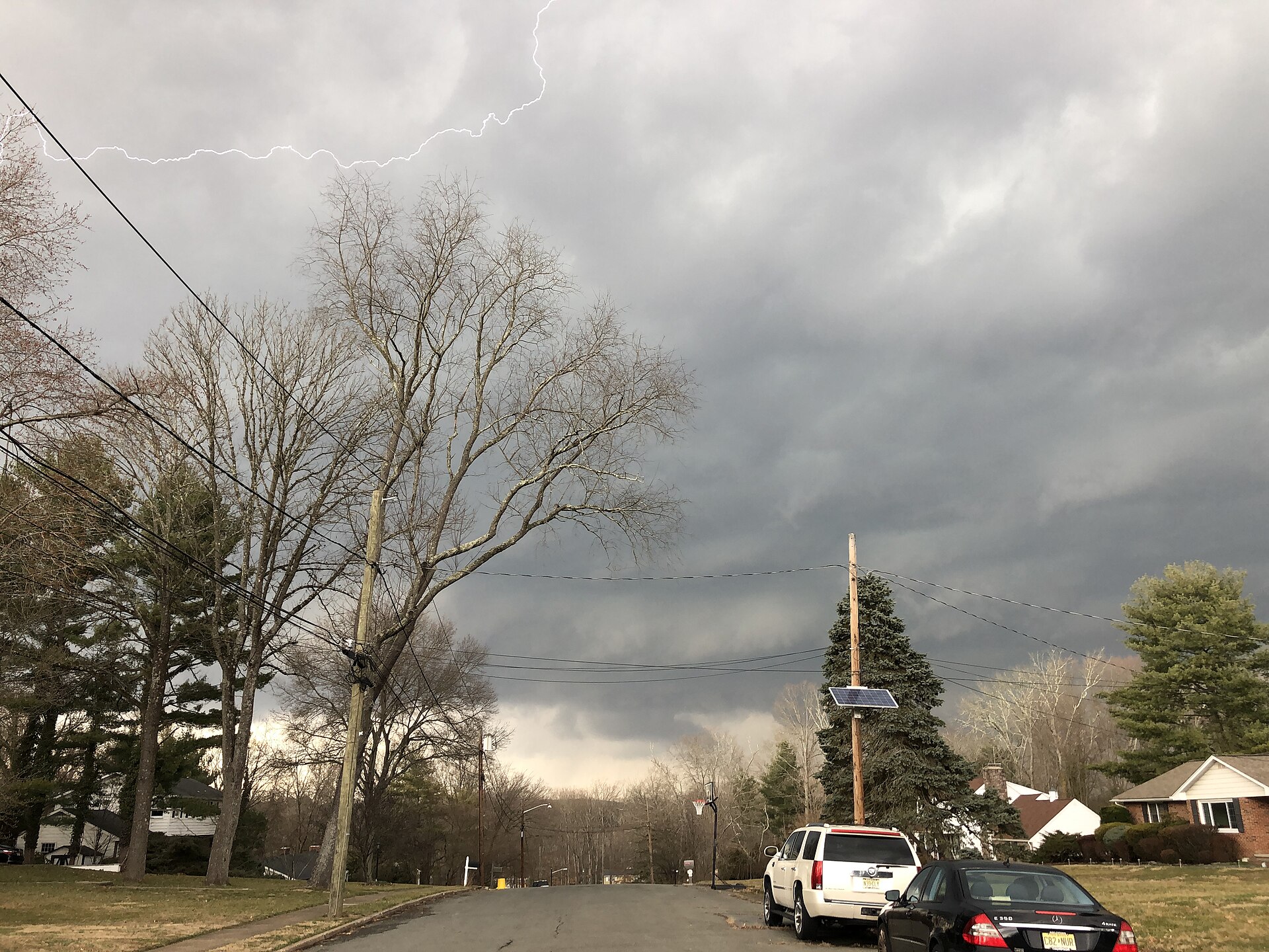
If your Friday evening plans in New Jersey involved anything outdoors, the sky has other ideas. The National Weather Service issued a severe thunderstorm watch for the entire state on Friday afternoon, October 16 — every county, wall to wall — as a strong cold front sweeps across the Northeast and turns a warm autumn day into a stormy, blustery night. According to NorthJersey.com, the watch was issued at about 3:45 p.m. and runs until 10 p.m., covering all of New Jersey plus parts of New York, Connecticut, Maryland and Delaware.
This is not one of those watches that clips a corner of the state and leaves everyone else alone. The whole Garden State is in it, from Sussex County down to Cape May, and the New York City metro is in it too. FOX 5 NY reported the watch also includes New York City and Long Island until 10 p.m., with the heaviest weather expected right around the evening commute. If you are reading this with one eye on the window, you are not being dramatic. You are being a New Jerseyan in October, watching a classic fall cold front do exactly what fall cold fronts do.
What the Storms Could Bring
The ingredients, as NorthJersey.com laid them out from the National Weather Service, are the familiar severe-weather trio: frequent lightning, hail, and damaging wind gusts that could reach up to 70 mph in the strongest storms, along with heavy rain in a short amount of time. AccuWeather, cited in the Courier-Post coverage, put the likely gusts in the strongest storms at 55 to 65 mph — a notch lower than the watch's upper end, but more than enough to bring down tree limbs, scatter patio furniture, and make the drive home an adventure nobody asked for.
The NOAA Storm Prediction Center, also via the Courier-Post, identified damaging winds as the primary threat, while noting that brief tornadoes are possible within the line of storms. That word — brief — matters. Nobody is forecasting a major tornado outbreak. But a fast-moving line of thunderstorms ahead of a strong front can spin up a quick, short-lived tornado with very little warning, which is exactly why forecasters want people paying attention rather than shrugging. FOX 5 NY placed the region under a Level 2 of 5 severe risk for the New Jersey and New York City metro, Long Island, the Lower Hudson Valley and southwestern Connecticut.
The Timing, West to East
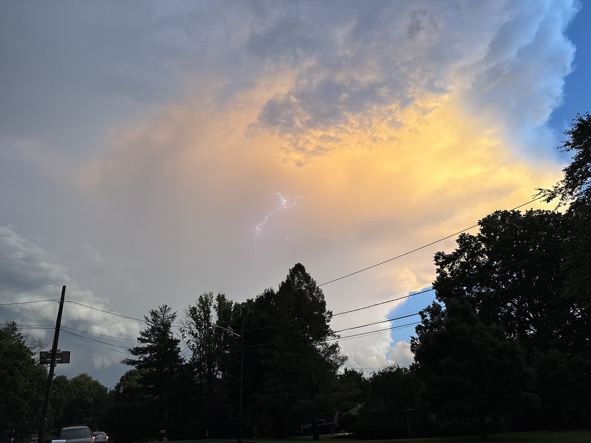
The Courier-Post broke down the timing county by county, and the pattern is a clean west-to-east sweep. The far northwest corner of New Jersey — Sussex and Warren counties — was first in line, roughly 4 to 6 p.m. The Interstate 95 corridor, the state's busy spine through Mercer, Middlesex and Union counties and into the metro, follows at about 5 to 7 p.m. Southern New Jersey, from Camden and Burlington down through Atlantic and Cape May, gets its turn around 6 to 8 p.m. After sunset, the threat diminishes as the front pushes offshore and the storms lose the day's warmth to feed on.
FOX 5 NY zeroed in on the window that matters most for the most people: 6 to 9 p.m., squarely across the evening commute, with the heaviest rain and strongest gusts expected as millions of people try to get home, get to dinner, or get to a high school football game that may or may not survive the lightning rules. Rainfall totals are not the main event here — FOX 5 NY put the expected total at about half an inch by Saturday morning — but half an inch arriving in twenty loud minutes is a very different experience from half an inch spread across a gray day. Expect ponding on roads, slower traffic, and the particular Friday-night misery of wipers that cannot keep up.
The Governor's Warning, and the Practical Stuff
Gov. Mikie Sherrill warned residents on social media to monitor forecasts as the storms approached, according to NorthJersey.com — the kind of message that is easy to scroll past and worth not scrolling past. The practical checklist for a watch like this is unglamorous and effective: charge your phone before the storms arrive, not during. Bring in or secure anything outside that a 60 mph gust could relocate — trash bins, Halloween decorations, the inflatable skeleton that has been judging your neighbors since September. Stay off the roads during the worst of the line if you can; if you cannot, slow down and never drive through flooded roadways. And when thunder roars, the old rule still holds: go indoors, and stay there until half an hour after the last rumble.

It is also worth remembering what a watch actually means, because the distinction saves people from both panic and complacency. A severe thunderstorm watch means conditions are favorable and storms are expected — it is the heads-up, not the siren. If a warning is issued for your county tonight, that means a severe storm is happening or imminent, and that is the moment to move away from windows and into an interior room. Keep a weather app or a local station within reach until the watch expires at 10 p.m., especially in the southern counties, where the line arrives latest.
Behind the Front: A Real Taste of Fall
Here is the trade the atmosphere is offering, and honestly, for mid-October, it is a fair one. NorthJersey.com noted that the National Weather Service expected a warmer Friday afternoon ahead of the front, the stormy evening as it passes, and then a sharp change behind it: windy and colder conditions, with a chance of frost by Saturday night. The same front rattling windows in New Jersey tonight is the one delivering the Northeast's first real reminder that the warm season is over. Saturday will feel like a different month than Friday did — because, meteorologically speaking, it kind of is.
So tonight's plan in New Jersey writes itself: get home ahead of the line if you can, keep the phone charged, let the storms do their loud, fast work between now and 10 p.m., and wake up Saturday to crisp air and a yard full of leaves that the wind helpfully pre-raked into your neighbor's driveway. For more coverage through the evening, see the Previously news index, and if you are settling in once the front passes, our guide to what to watch this weekend is a fine companion for a blustery night in.