
The Short Version
- Tropical Storm Rachel reaches Arizona this weekend. A flood watch takes effect at 11 a.m. Saturday and runs through 5 a.m. Monday for Mojave, Yavapai, western Coconino, northern Gila and far southern Navajo counties.
- Flash-flood risk peaks Sunday. The Weather Prediction Center puts western Mohave County at a moderate (40%) risk of flash flooding Sunday, with a slight risk across the western half of the state.
- A wind advisory covers nearly the entire state Sunday — sustained winds to 35 mph, gusts to 55 mph, with timing that varies by county.
- Southern California got its first tropical storm watch since 2023, with landfall expected Saturday night near the California–northern Baja border. Newport Beach declared a local emergency; Long Beach red-tagged two structures.
- Phoenix could see 0.5 to 2 inches of rain, with temperatures dropping from the mid-90s Saturday into the 70s by Tuesday. Lingering storms possible into Tuesday.
PHOENIX
The desert doesn't usually do tropical storms, but this weekend it's doing one anyway. Tropical Storm Rachel is bearing down on the Southwest, and Arizona is in the direct line for its biggest punch: heavy rain, isolated thunderstorms, gusty winds, flash flooding and blowing dust, arriving early Sunday morning and lingering into next week. If you live anywhere from Phoenix to Kingman to Tucson, the weekend forecast just flipped.
What Rachel is and where it's going
Rachel is a Pacific tropical storm holding together on record-warm water for this time of year, boosted by an approaching jet stream that forecasters say could keep it organized all the way to a Saturday night landfall near the northern Baja Peninsula — with its remnant circulation possibly pushing into the lower deserts of southeastern California early Sunday. That's a genuinely unusual setup. Trade winds almost always steer Pacific storms away from the West Coast, and the cool California Current usually chews up the ones that try. Federal forecasters expect Rachel to become post-tropical over the southwestern U.S. by Sunday and dissipate shortly after — but not before dumping its tropical moisture across a huge area. The National Hurricane Center's forecast calls for widespread totals of 1 to 3 inches across portions of the Southwest, with localized amounts up to 5 inches.
The Weather Prediction Center has upgraded portions of Southern California, northwestern Arizona, southern Nevada and southwestern Utah to a moderate risk of excessive rainfall — level 3 of 4 — for the 24 hours ending at 5 a.m. PDT Sunday, with a second moderate-risk area in place for the following 24 hours as the remnant circulation moves northeast toward the Great Basin. Researchers tracking the storm noted its projected path shifted north and west over the last couple of days, increasing the potential for heavier rainfall in Southern California. The flash-flood threat stretches from Los Angeles to Tucson and as far north as Pocatello, Idaho.
Arizona: the flood watch and the wind
For Arizona, the alerts are already in motion. A flood watch takes effect at 11 a.m. Saturday and runs through 5 a.m. Monday for Mojave, Yavapai, western Coconino, northern Gila and far southern Navajo counties, warning of excessive runoff in rivers, creeks, streams and other low-lying and flood-prone locations — plus urban flooding. The WPC's moderate (40%) flash-flood risk for western Mohave County on Sunday means numerous to scattered flash floods are possible there; the western half of the state faces a slight (15%) risk.
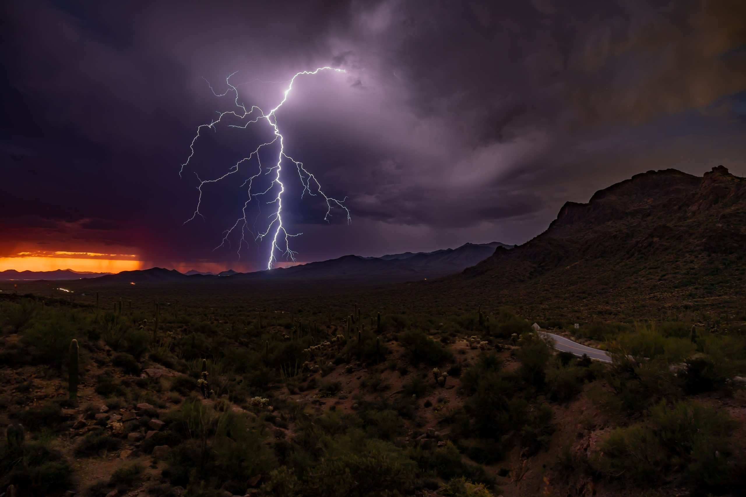
Then there's the wind. A wind advisory covers nearly the entire state Sunday — every county except Graham, Greenlee and Cochise — with sustained winds to 35 mph and gusts reaching 55 mph. Timing varies: Maricopa, northern Pinal and southern Gila counties from 8 a.m. to 5 p.m.; eastern Pima, Santa Cruz and southeastern Pinal from 7 a.m. to 11 p.m.; western and central Pima plus southwestern Pinal from 2 a.m. to 11 p.m.; Yuma and La Paz from 2 a.m. to 5 p.m.; and the northern tier — Yavapai, Coconino, Navajo, Apache and northern Gila — from 8 a.m. to 8 p.m. Blowing dust is the specific concern in the open desert, and gusts over 40 mph in the mountains could damage trees and knock out power.
For metro Phoenix, the forecast is showers and isolated thunderstorms with wind, heaviest rain favoring the high country just north of the city. Totals of half an inch to two inches are possible in the Valley. Gusts could top 40 mph Sunday. The heat breaks hard: Saturday's mid-90s give way to the 80s Sunday and Monday, then the upper 70s by Tuesday — with some lingering storm activity possible into Tuesday, so this isn't a one-day event.
Southern California: first tropical storm watch since 2023
Across the border, the National Weather Service's San Diego office extended a tropical storm watch to all San Diego County forecast zones and adjacent coastal waters — the first tropical storm watch anywhere in Southern California since the remnant of former Hurricane Hilary moved in during 2023. (Only the second ever issued for San Diego County.) Within the San Diego forecast area, forecasters expect half an inch to an inch and a quarter of rain across coastal, valley and desert areas, with mountain totals of 1 to 2.5 inches — and peak mountain rainfall rates of half an inch to an inch per hour possible Sunday. The California–Nevada River Forecast Center separately forecast local totals up to 4 inches over higher terrain in the San Bernardino Mountains.
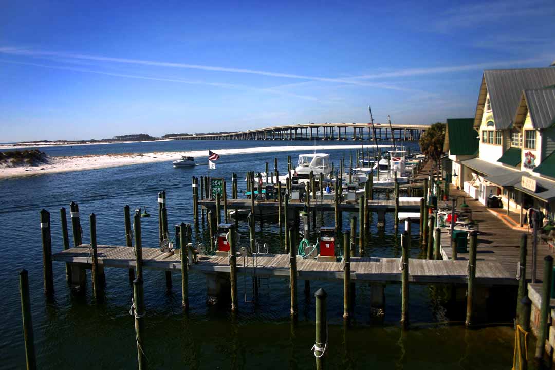
Coastal cities aren't waiting around. Newport Beach declared a local emergency on Friday because of flooding on the Balboa Peninsula, enabling continuous operation of drainage pumps and construction of protective sand berms. In Long Beach, crews red-tagged two structures and yellow-tagged three along the Alamitos Peninsula and handed out more than 7,600 sandbags to residents. Breaking waves of 4 to 7 feet — up to 9 feet in sets off Orange County — are expected to create dangerous rip currents, and winds over coastal waters are expected to reach small-craft-advisory thresholds, generating steep, choppy seas hazardous to small vessels. Drying returns by Wednesday, with weak to moderate Santa Ana winds possibly developing late next week.
What to do this weekend
The guidance from forecasters is simple: finish storm prep today. Clear drains and gutters, secure anything the wind can turn into a projectile, and if you're anywhere near a wash, creek or burn scar, understand that desert floods move fast and without much warning — a couple of inches of rain on baked desert soil runs off, it doesn't soak in. Don't drive through flooded roadways, full stop. The flood watch runs through Monday morning, and the highest-risk period for Arizona is Sunday. Check your local National Weather Service office for the latest warnings, because tropical systems are notoriously wobbly — pockets of dry air can wedge in and shift everything by counties.
For the rest of the Southwest: southern Nevada and southwestern Utah are also under wind and flash-flood risk from the same system. This is a regional weather weekend, not just an Arizona one. We'll update as the storm develops.
NHC: 1–3 in. widespread across the Southwest, locally up to 5 in. NWS San Diego: 0.5–1.25 in. coast/valley/desert, 1–2.5 in. mountains. Drying by Wednesday.
Sources · 7 sources
- The Arizona Republic / azcentral — Tropical Storm Rachel's expected impacts in Arizona
- The Arizona Republic / azcentral — Rachel sending moisture to Arizona
- The Weather Channel — Rachel: first SoCal tropical storm watch since 2023
- FOX 10 Phoenix — Arizona weather forecast: rain and gusty winds ahead
- FOX 11 Los Angeles — Rachel to bring rain, cooler temps, coastal flooding to SoCal
- The Watchers — Rachel brings flash-flood threat to Southern California and the U.S. Southwest
- Gizmodo — The U.S. and Mexico brace for a cyclone triple threat
More Southwest coverage: today's Vegas daily roundup · Phoenix fire crews' mountain rescue · Hurricane Isaias recovery, Atlantic coast