
The Short Version
- The National Weather Service issued a dust storm warning shortly after 1 p.m. Saturday, in effect until 1:45 p.m., covering portions of Interstate 10, Interstate 17 and U.S. 60 near Avondale, Goodyear, Phoenix and Mesa — with visibility able to drop to zero within seconds, per azcentral.
- The FAA issued a ground stop for flights bound for Phoenix Sky Harbor International Airport, scheduled until 2:30 p.m. with average delays of 36 minutes. As of 1:40 p.m., Sky Harbor reported 78 delayed flights and two diversions, according to its website.
- An ADOT traffic camera on I-10 near Perryville Road showed a thick cloud of brown dust engulfing the freeway at 12:52 p.m. The weather service reported a strong outflow boundary moving east and northeast at 12:45 p.m., with 35-to-45-mph gusts and a wall of dust.
- The storm developed as moisture associated with Tropical Storm Rachel moved into the Southwest, bringing showers, thunderstorms and gusty winds to parts of Arizona — and unsettled weather was expected to persist into Sunday afternoon.
PHOENIX
Saturday afternoon in the Valley started with a wall of dust and ended with a backlog of airplanes. A storm-generated dust wall rolled east and northeast across metro Phoenix just after midday, prompting a National Weather Service dust storm warning, a Federal Aviation Administration ground stop at Phoenix Sky Harbor International Airport, and a familiar desert warning for drivers: get off the road, because you may not see it coming.
The culprit, per the weather service, was moisture associated with Tropical Storm Rachel moving into the Southwest — the same system that has kept the region under flood and wind alerts all weekend. Rachel's remnants didn't just bring rain. Ahead of the showers came the outflow — and the dust.
The warning
The dust storm warning went out shortly after 1 p.m. on Saturday, October 10, and ran until 1:45 p.m., covering portions of Interstate 10, Interstate 17 and U.S. 60, including areas near Avondale, Goodyear, Phoenix and Mesa, according to the Arizona Republic. The threat was blowing dust severe enough to reduce visibility to zero across major highways.
The lead-up was visible on the weather service's radar and on the state's traffic cameras. At 12:45 p.m., the NWS reported that a strong outflow boundary was moving east and northeast ahead of showers and thunderstorms, with wind gusts of 35 to 45 mph observed along with a wall of dust. Seven minutes later, an Arizona Department of Transportation traffic camera along I-10 near Perryville Road, west of Phoenix, showed a thick cloud of brown dust engulfing the freeway — highway signs and vehicles in the distance barely visible as the dust swallowed the roadway.
According to the Phoenix Focal's local reporting, the National Weather Service in Phoenix said storms near Gila Bend generated the dust wall around 11:50 a.m., and it reached the West Valley about an hour later — a roughly 60-mile journey across the desert floor before it hit the metro's western edge.

The ground stop
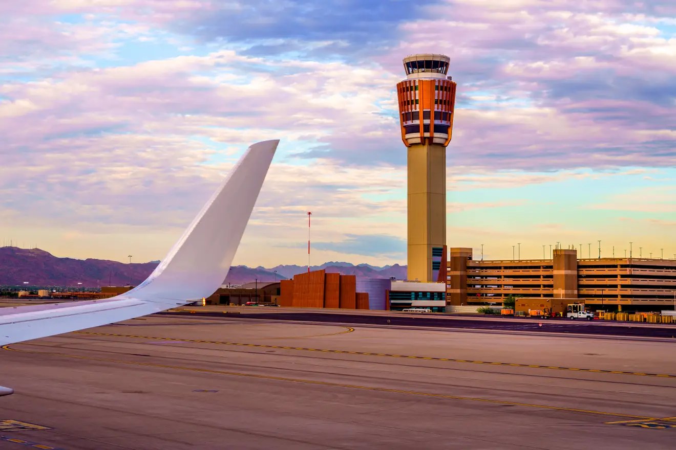
As thunderstorms approached from the west, the FAA issued a ground stop for flights bound for Sky Harbor. The stop was scheduled to last until 2:30 p.m., with average delays of 36 minutes, per azcentral. As of 1:40 p.m. — ten minutes into the warning window — Sky Harbor's website showed 78 delayed flights and two diversions.
Seventy-eight delays in a single snapshot is the kind of number that ripples. A ground stop doesn't just hold the planes already pointed at Phoenix; it backs up departures from origin airports across the country, crews time out, connections misconnect, and the afternoon banks at a hub the size of Sky Harbor — one of the ten busiest airports in the country — take hours to unwind. The two diversions are the sharpest edge of it: flights that burned fuel holding, gave up on Phoenix, and went somewhere else.
The stop was the day's second aviation disruption tied to the same system. Storms had been moving through the area all morning, and the afternoon dust wall was the exclamation point — the moment blowing dust, not just rain, became the hazard.
Rachel's fingerprints
This wasn't a classic summer monsoon haboob. The weather service tied the storm's development directly to moisture associated with Tropical Storm Rachel moving into the Southwest, bringing showers, thunderstorms and gusty winds to parts of Arizona. The Phoenix Focal connected the dots further: the unsettled weather was linked to the remnants of Tropical Cyclone Rachel combining with a low-pressure system over the West Coast.
It's a reminder that tropical moisture in October doesn't behave like a monsoon. The same system that put Southern California under a rare tropical storm watch and pushed a level-3-of-4 excessive-rainfall risk over southern Nevada and southwestern Utah also manufactured a desert dust wall 300 miles inland. Different hazard, same storm.
And it isn't over. Showers and thunderstorms were expected to persist across metro Phoenix into Sunday afternoon before tapering off, per the Phoenix Focal's reporting on the NWS outlook — meaning travelers and drivers get one more day of the unsettled pattern before the Valley dries out.

"Pull Aside, Stay Alive"
For drivers, the afternoon was a refresher course in the desert's most counterintuitive safety drill. ADOT's standing guidance for dust storms — "Pull Aside, Stay Alive" — is blunt for a reason: when the wall hits, the instinct to keep driving, or to stop in the travel lane with your foot on the brake, is what gets people killed. The weather service warned Saturday that visibility could drop to zero within seconds.
The official playbook, which azcentral recirculated Saturday: pull as far off the roadway as possible, put the vehicle in park, turn off the lights, and keep your feet off the brakes — lights off and foot off the brake so nobody behind you mistakes your taillights for the lane ahead and follows you off the road. For real-time highway conditions, ADOT points drivers to az511.com, the 511 Arizona app, or simply calling 511.
Saturday's event was, by the numbers, a moderate one — 35 to 45 mph gusts, a 45-minute warning window, a ground stop measured in hours rather than a day. But the I-10 camera frame at 12:52 p.m. tells the real story: a freeway swallowed whole, signs and cars erased. In the desert, moderate is plenty.

What travelers should know
If you're flying through Phoenix on Sunday, the morning's lesson is to check before you go. Residual delays from Saturday's ground stop can bleed into Sunday's banks, and with showers and thunderstorms expected to persist into Sunday afternoon, the airport's own flight-status pages and airline apps are the source of truth — not the departure board you remember from yesterday.
The bigger picture is the weekend's theme: Rachel's remnants are still working through the Southwest. The same moisture that grounded flights in Phoenix is the system behind the flood watch and wind alerts across Arizona and southern Nevada. The dust was Saturday's headline in the Valley; the rain may be Sunday's.
It was a rough Saturday across the Valley in more ways than one: across town, Turf Paradise was locked out by its landlord in a lease fight that could decide whether the racing season opens at all.
Sources · 2 sources
- The Arizona Republic (azcentral) — Storms prompt FAA ground stop at Phoenix Sky Harbor Airport (Oct 10, 2026)
- The Phoenix Focal — Dust storm sweeps across Phoenix Valley as storms halt Sky Harbor flights (Oct 10, 2026)
More from the newsroom: tracking Tropical Storm Rachel · today's Vegas roundup